Indexes for 6- and 25-inch maps of England and Wales
This page provides access to indexes for older Ordnance Survey six-inch (1:10,560) and twenty-five inch (1:2,500) maps of England and Wales held at the University of Chicago Map Collection. Indexes are by county. Each index shows holdings for both sets.
| Index | County |
|---|---|
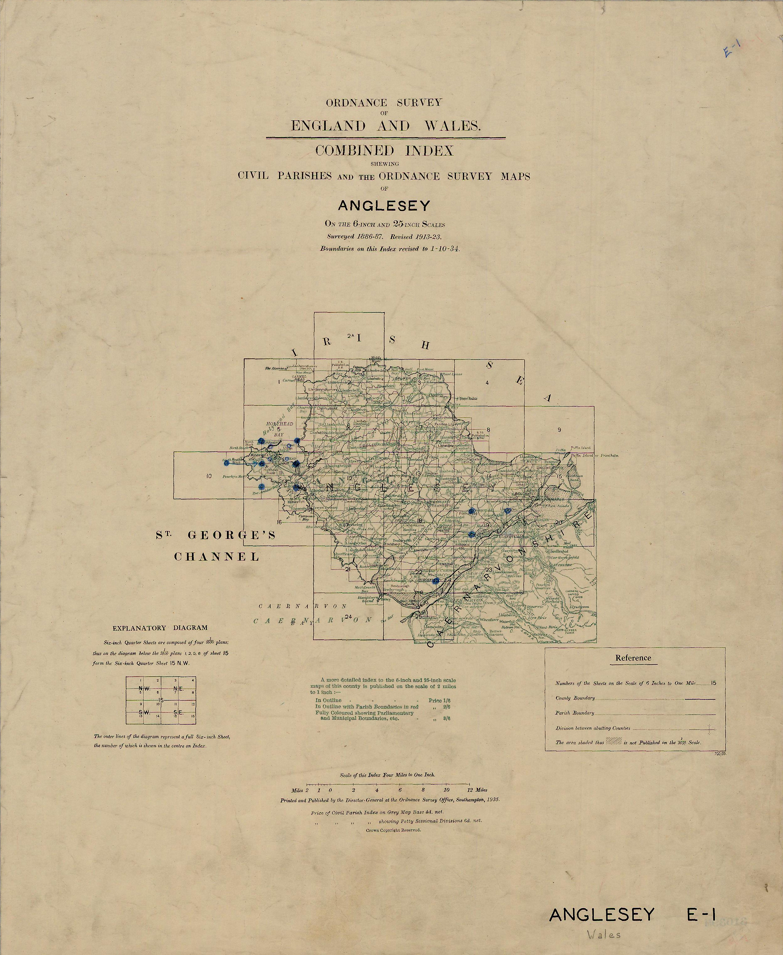 |
Anglesey |
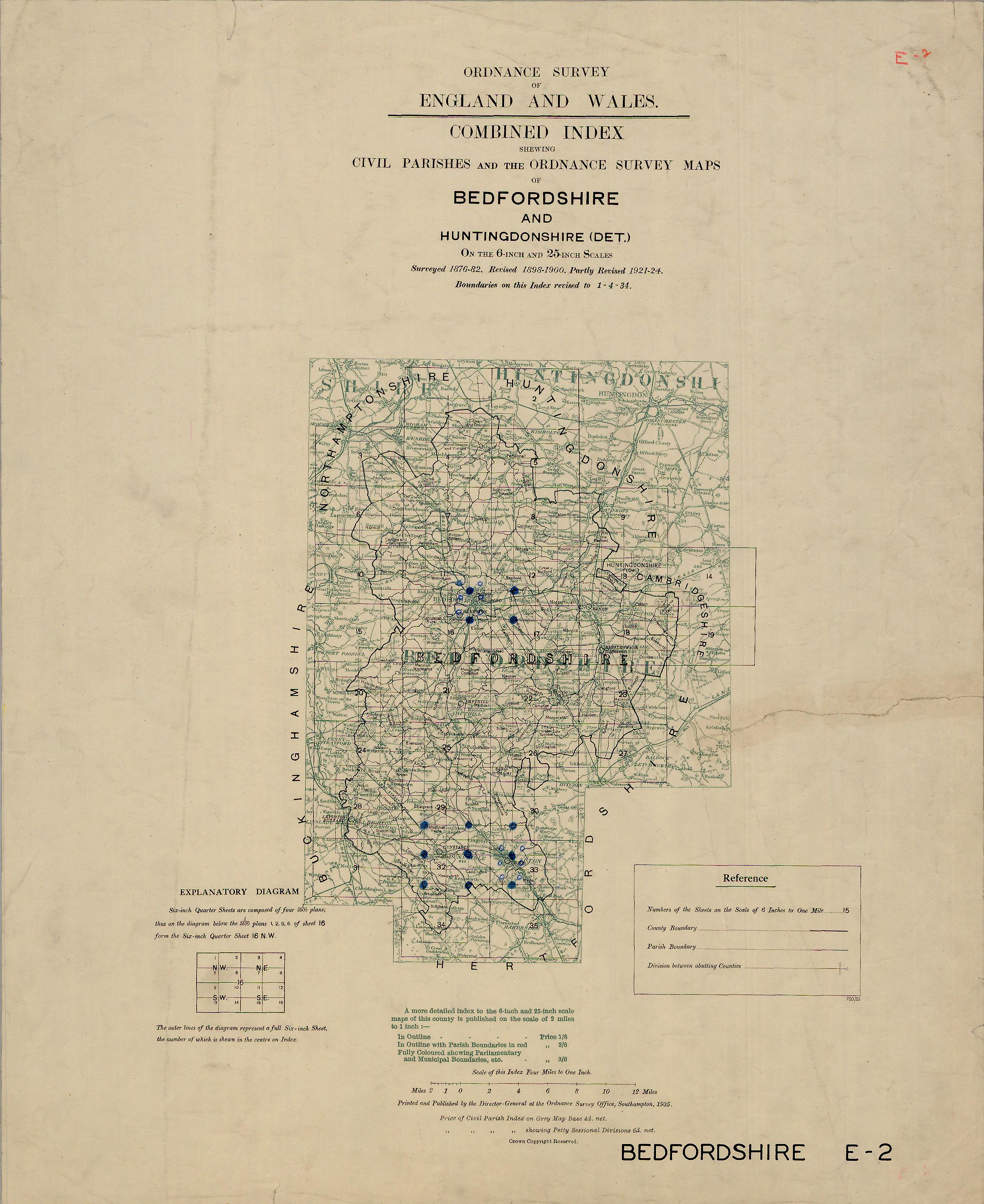 |
Bedfordshire |
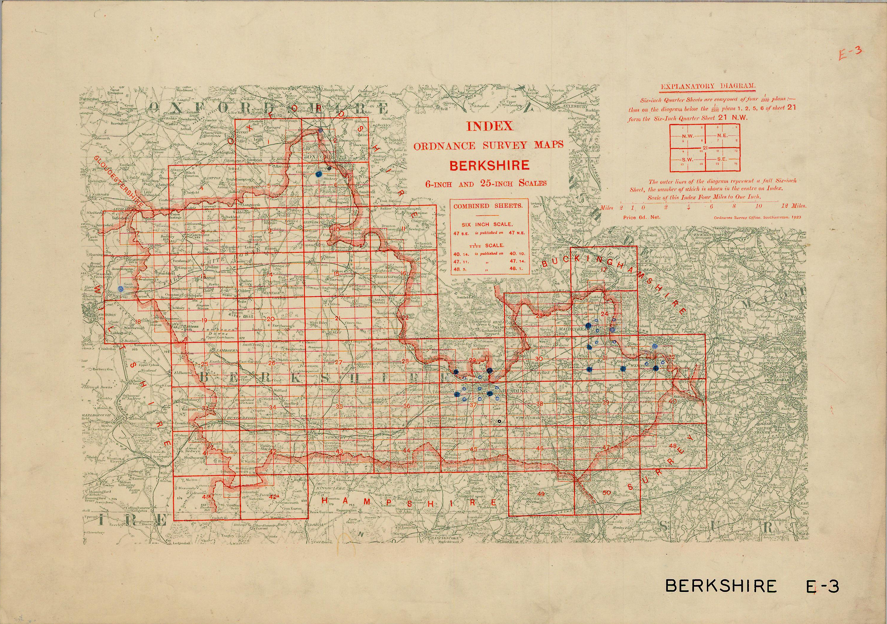 |
Berkshire |
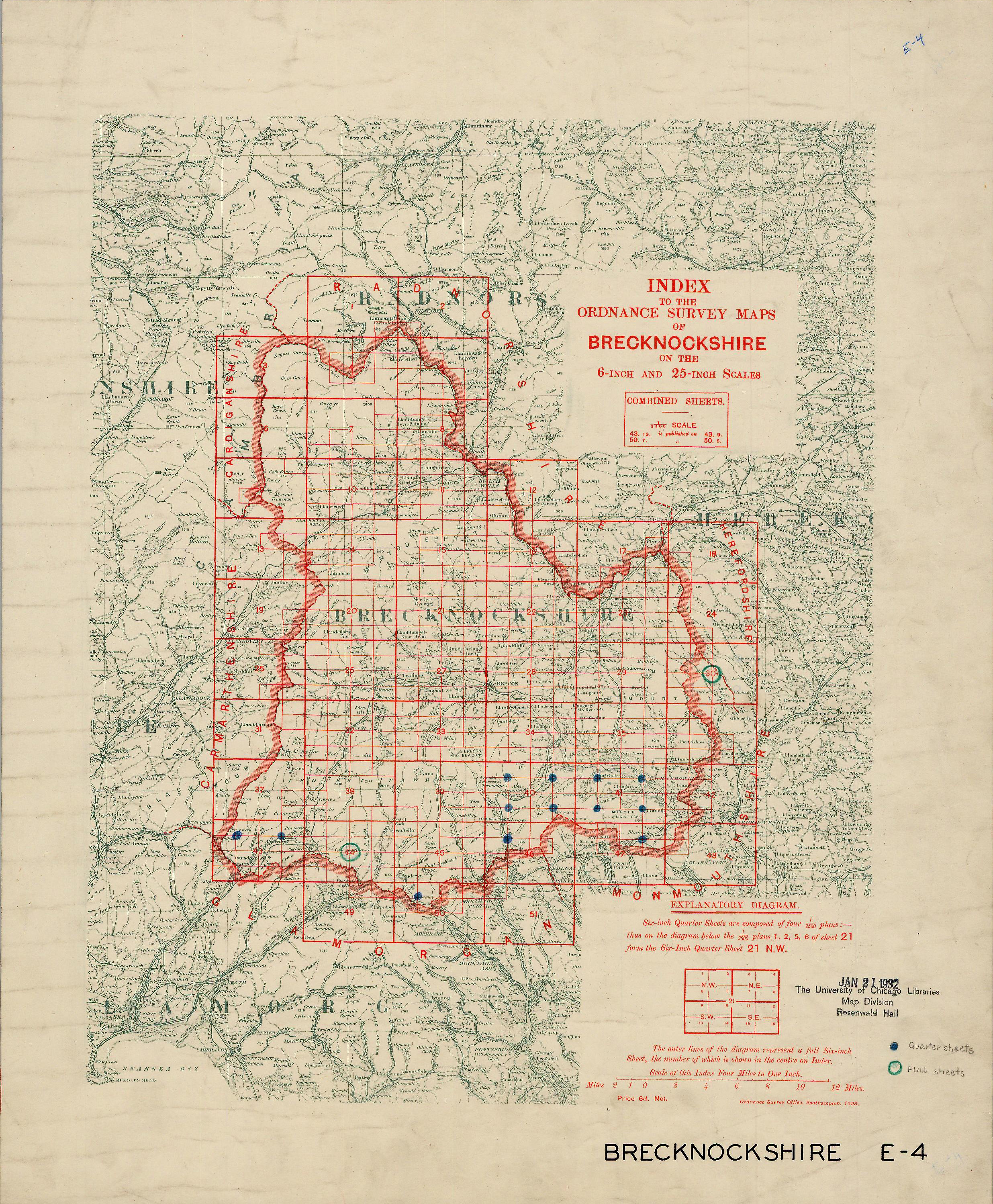 |
Brecknockshire |
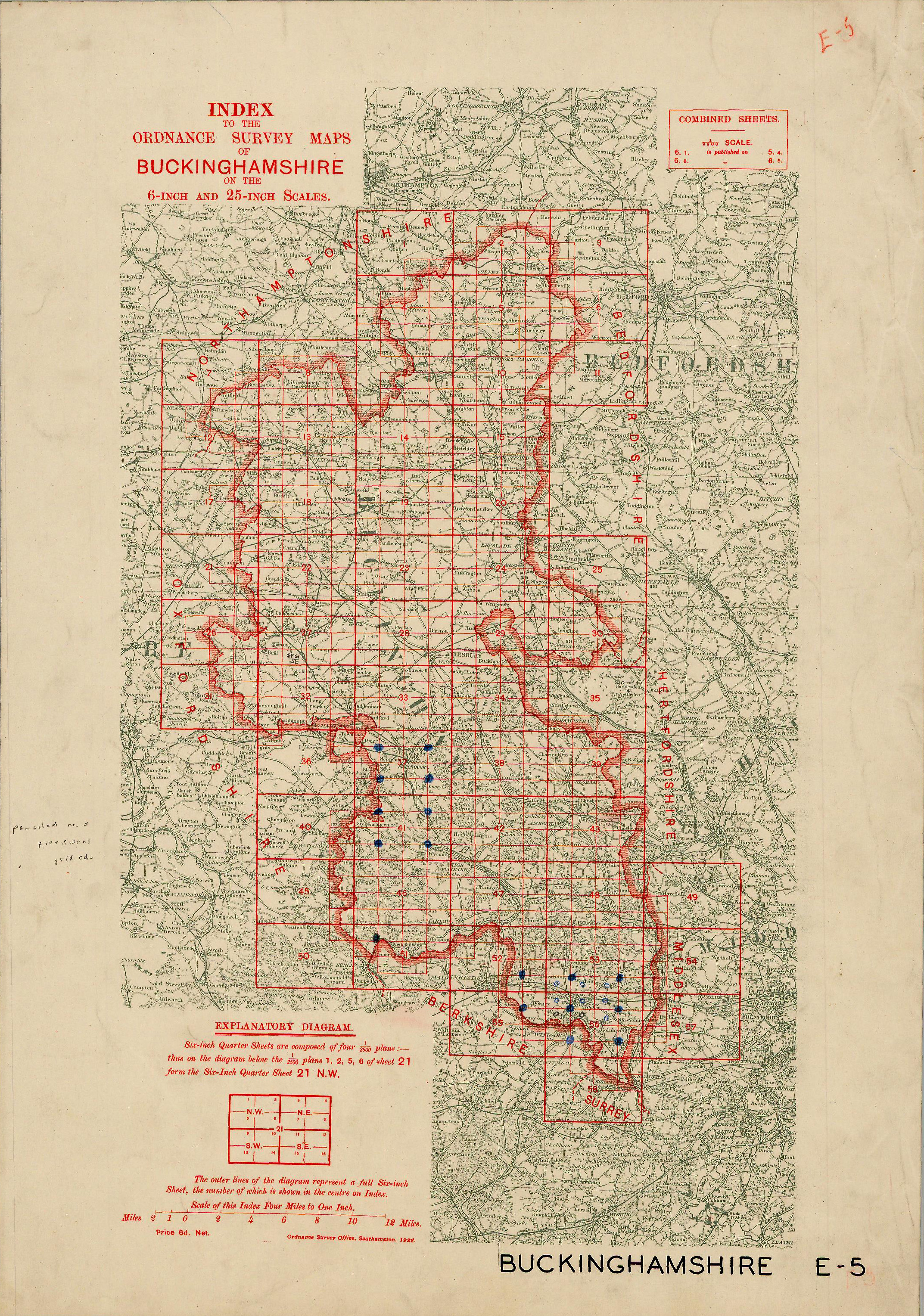 |
Buckinghamshire |
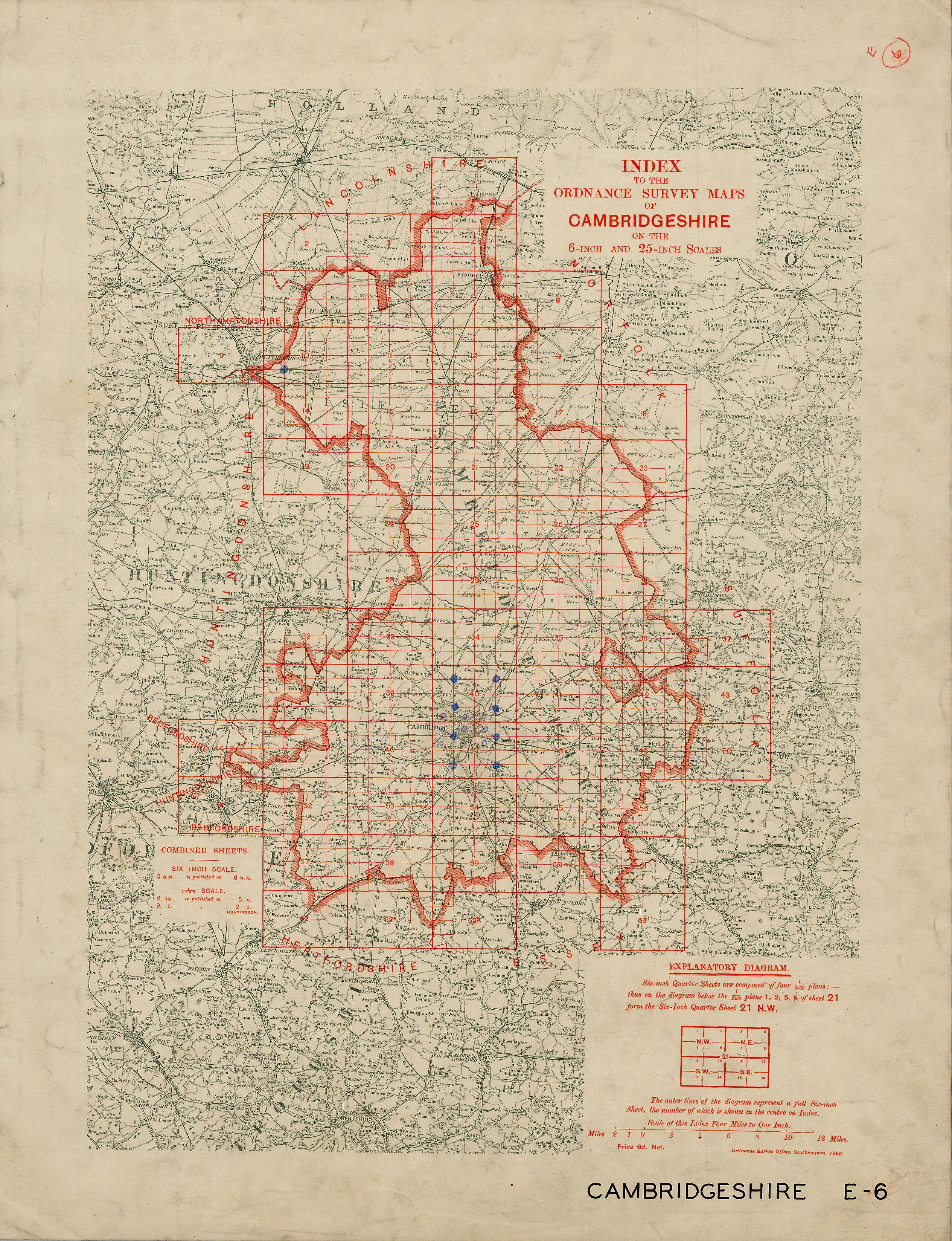 |
Cambridgeshire |
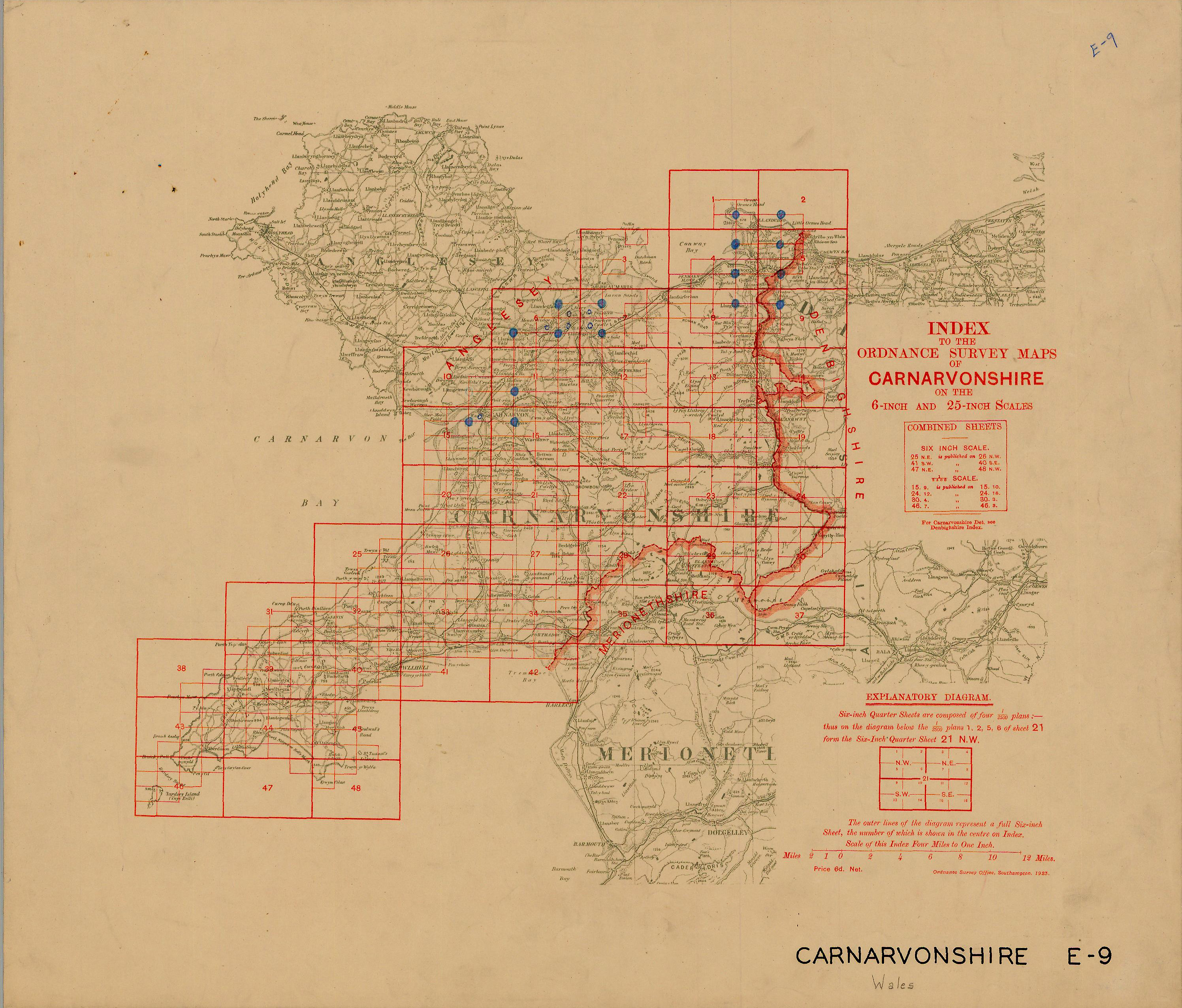 |
Carnarvonshire |
 |
Cheshire |
 |
Cornwall |
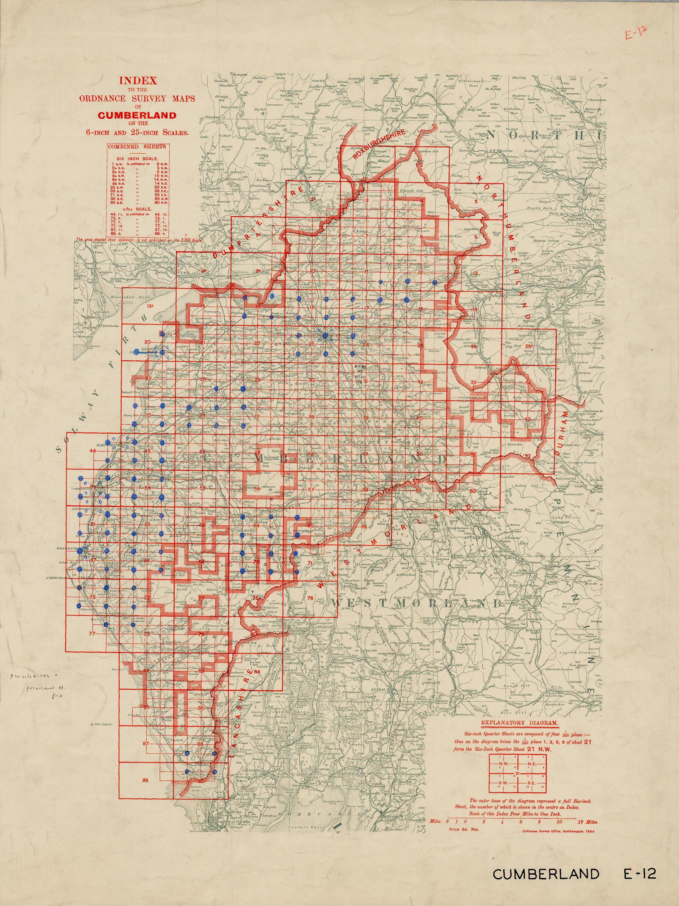 |
Cumberland |
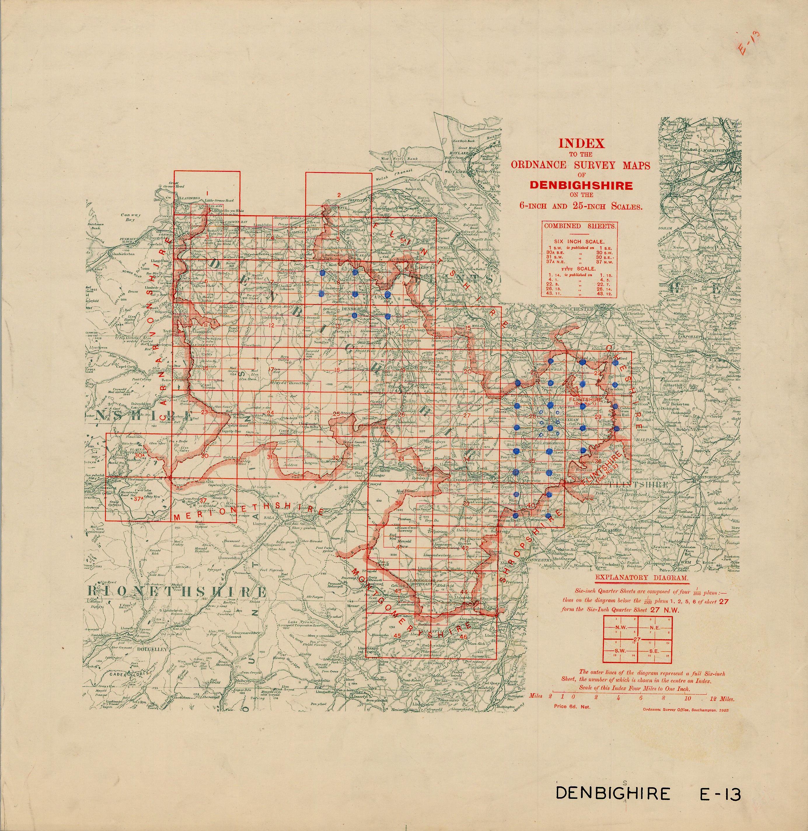 |
Denbighshire |
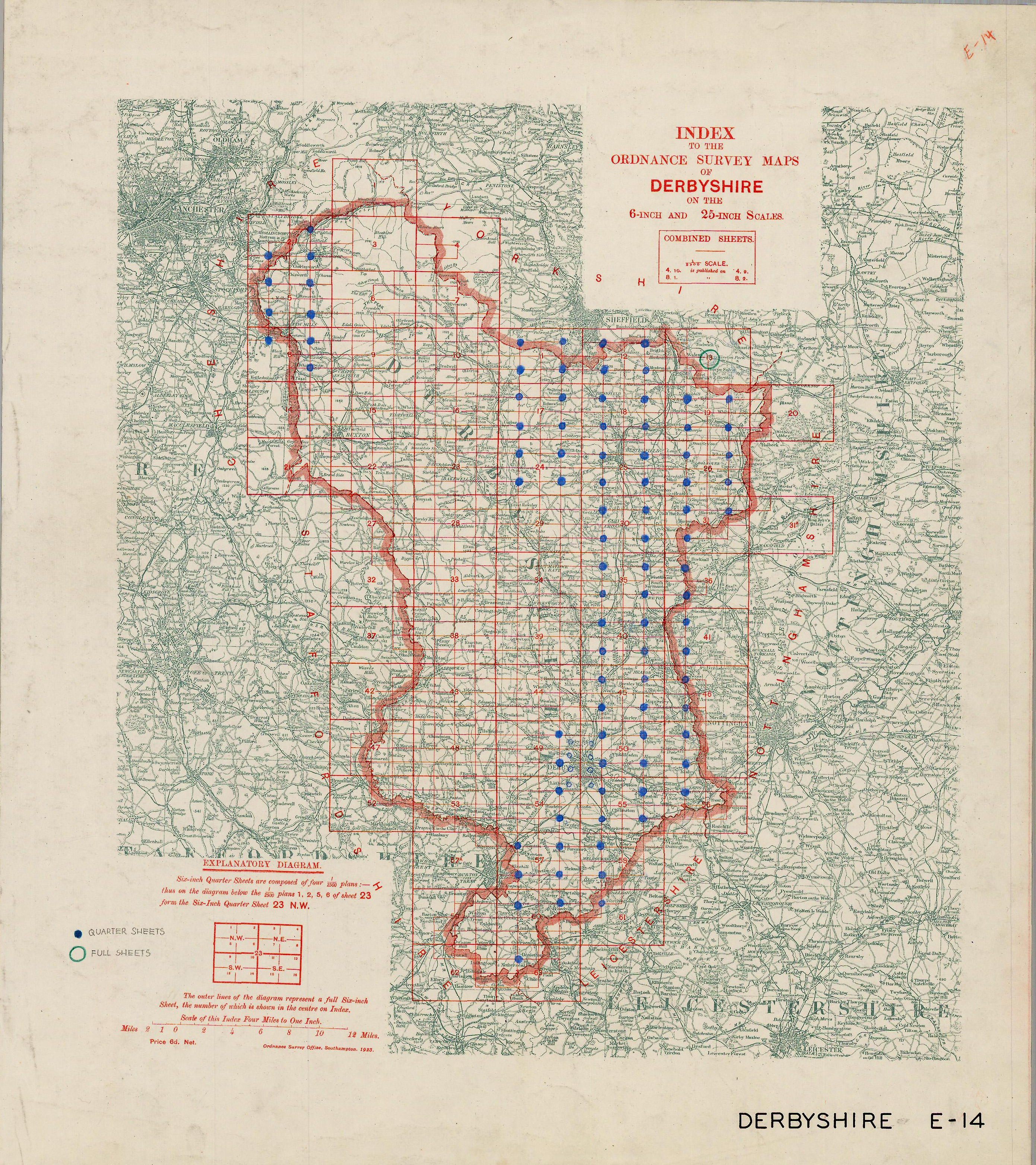 |
Derbyshire |
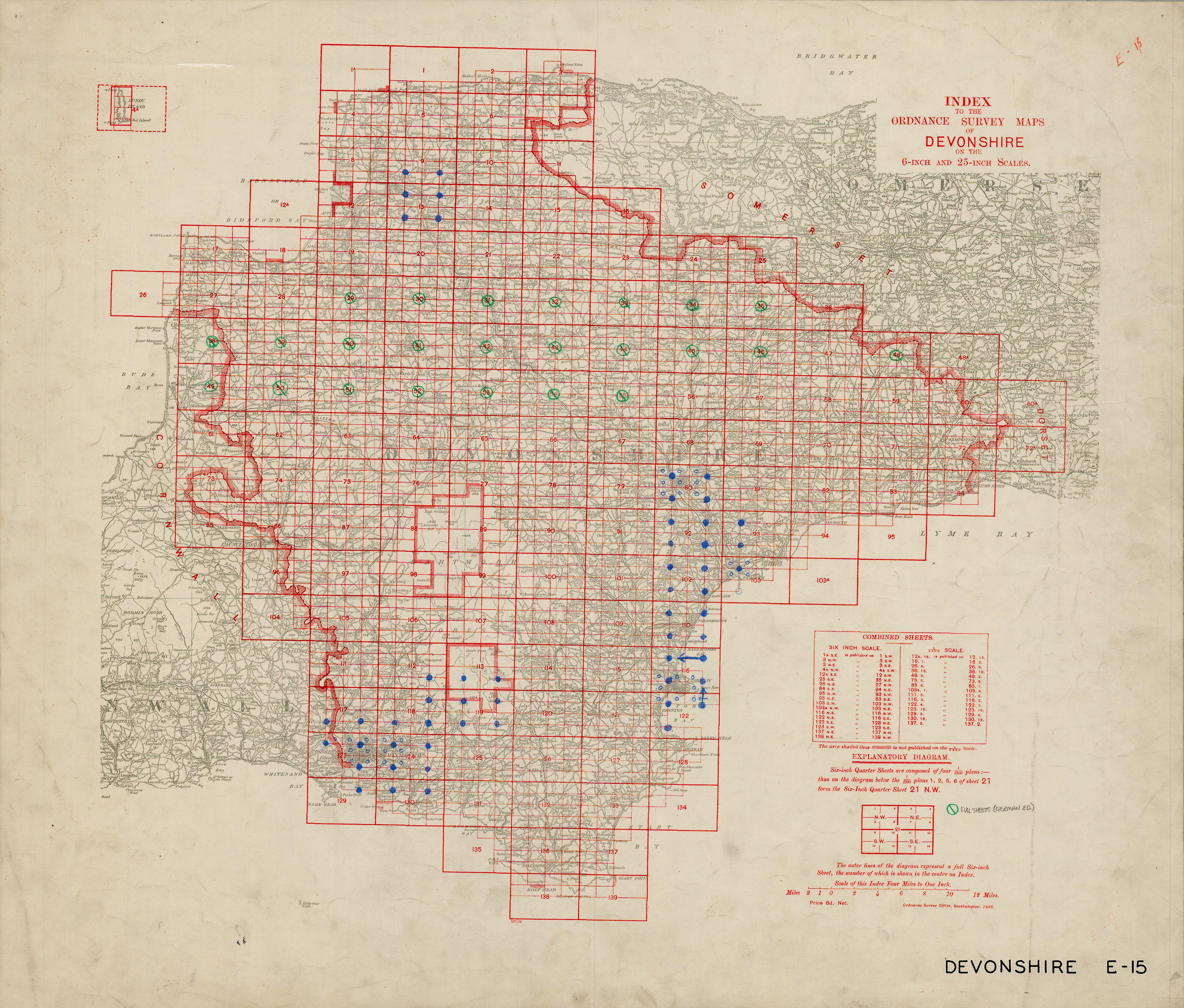 |
Devonshire |
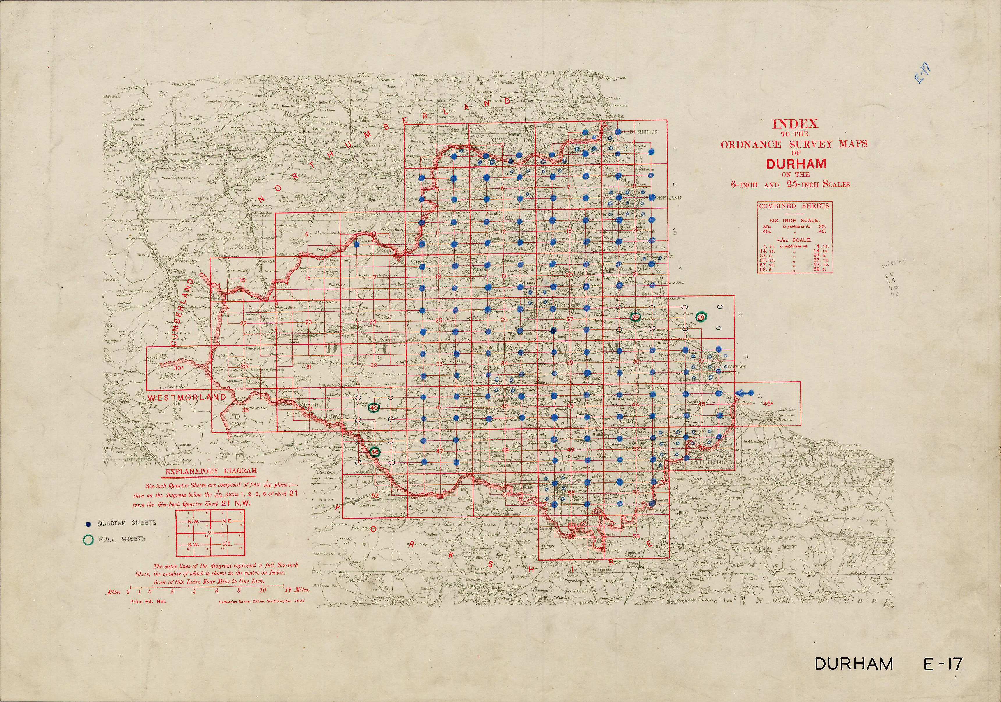 |
Durham |
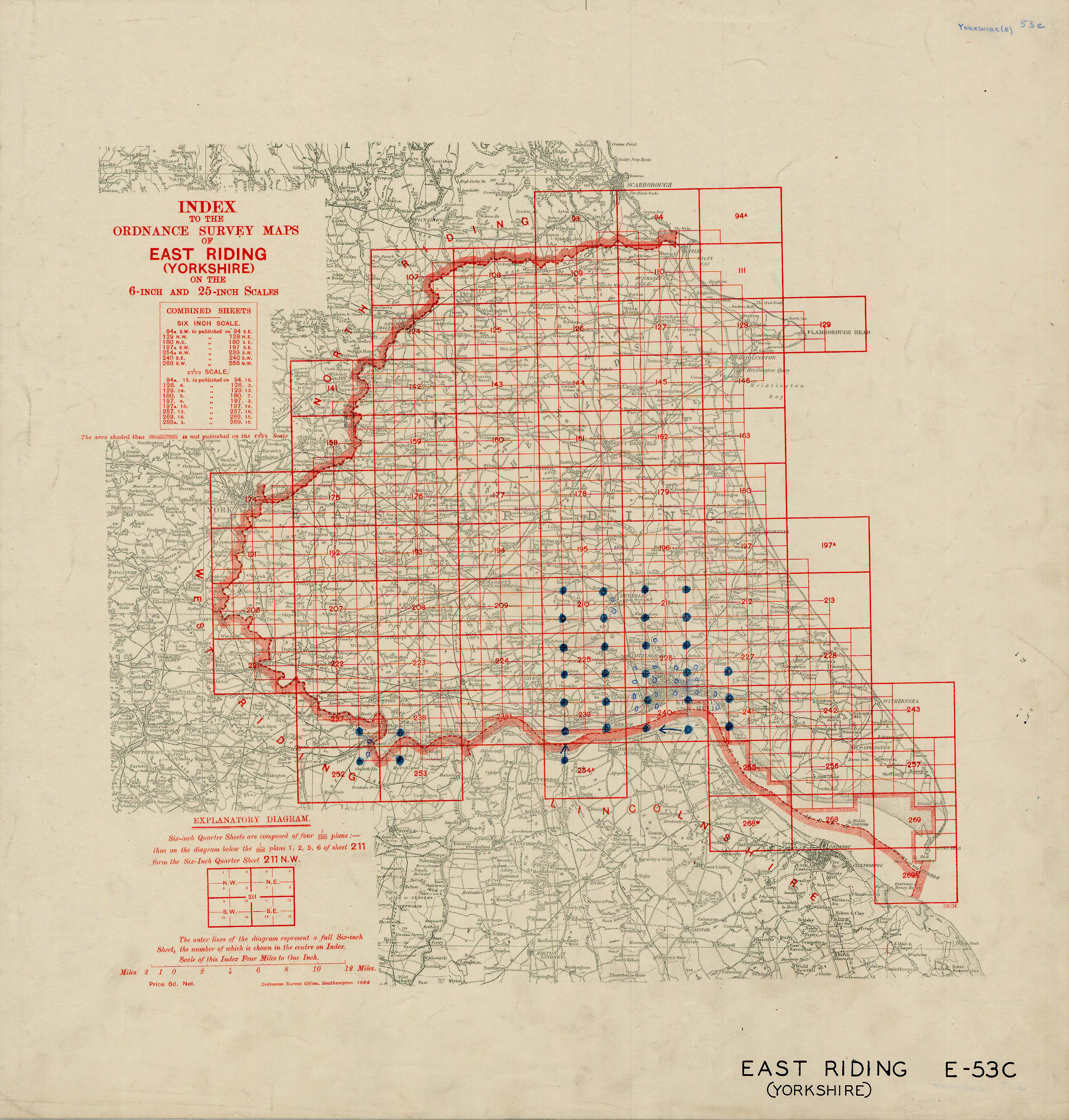 |
East Riding |
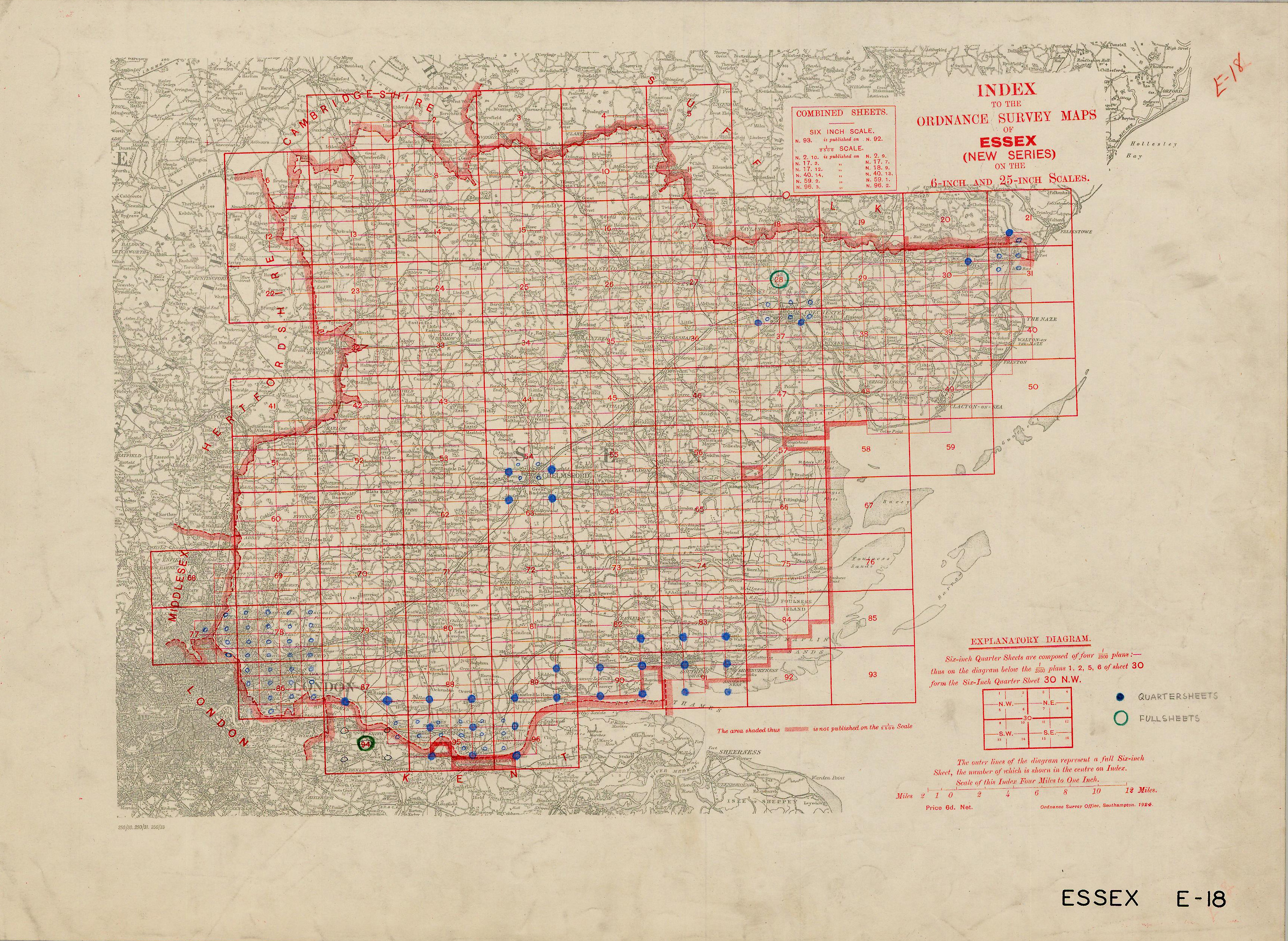 |
Essex |
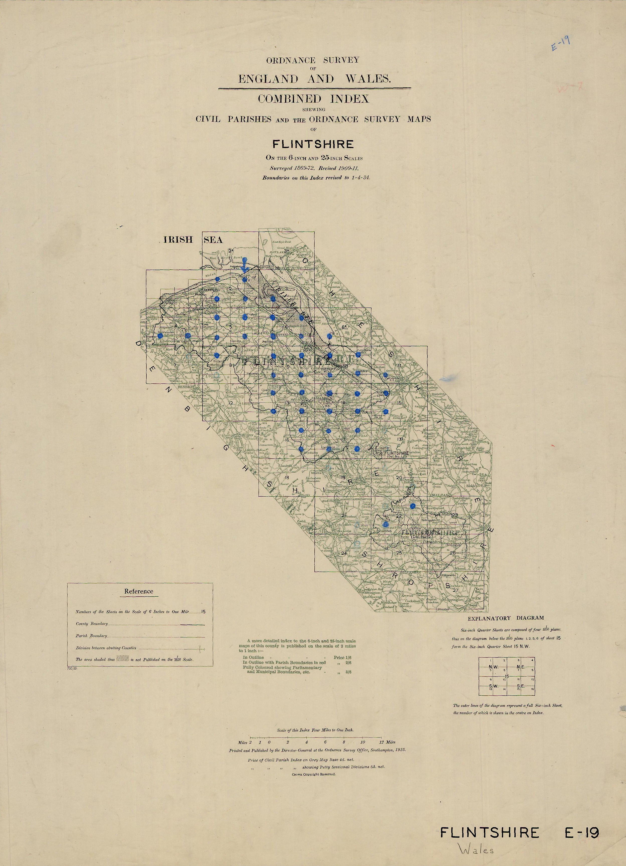 |
Flintshire |
 |
Glamorgan |
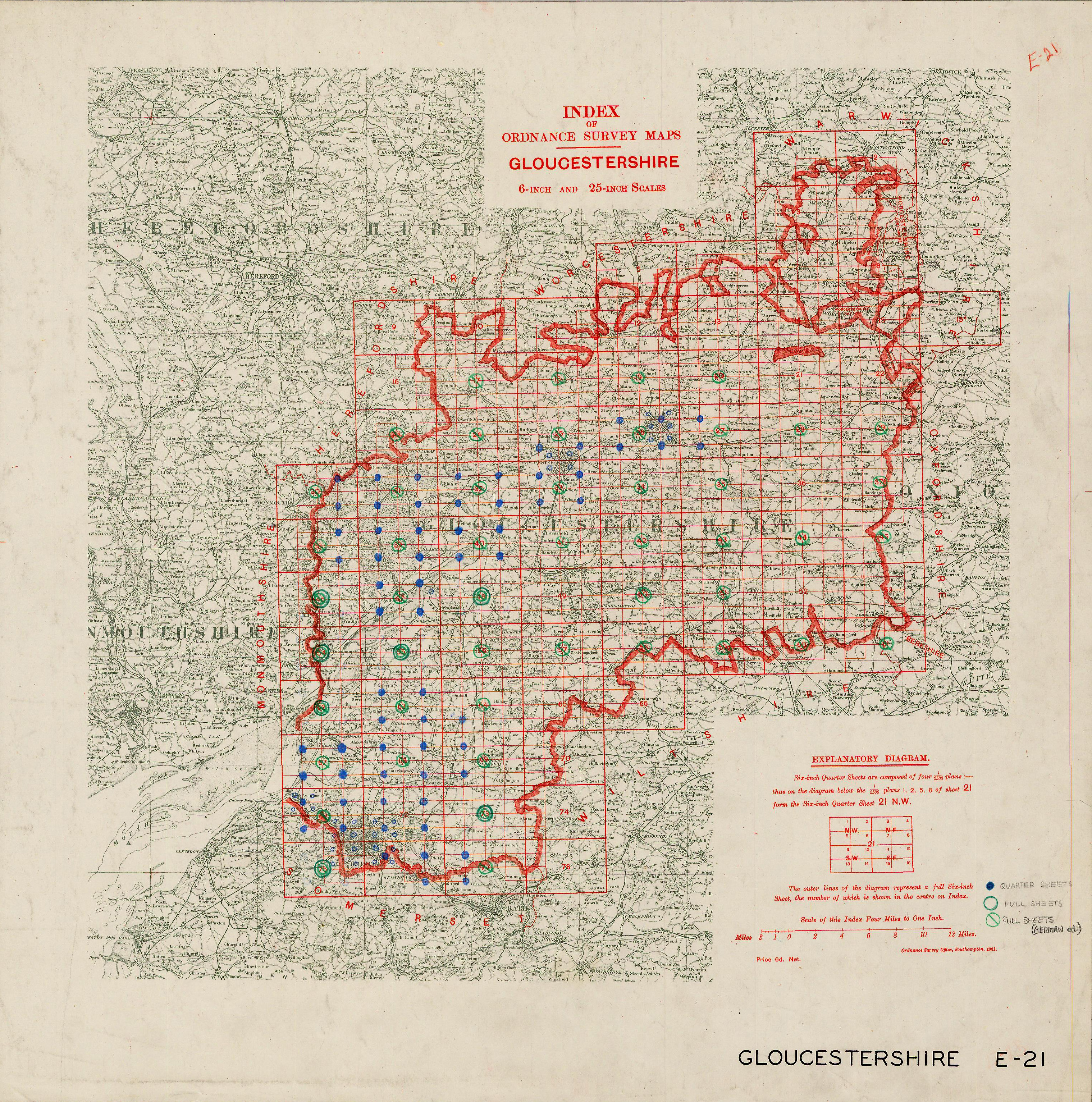 |
Gloucestershire |
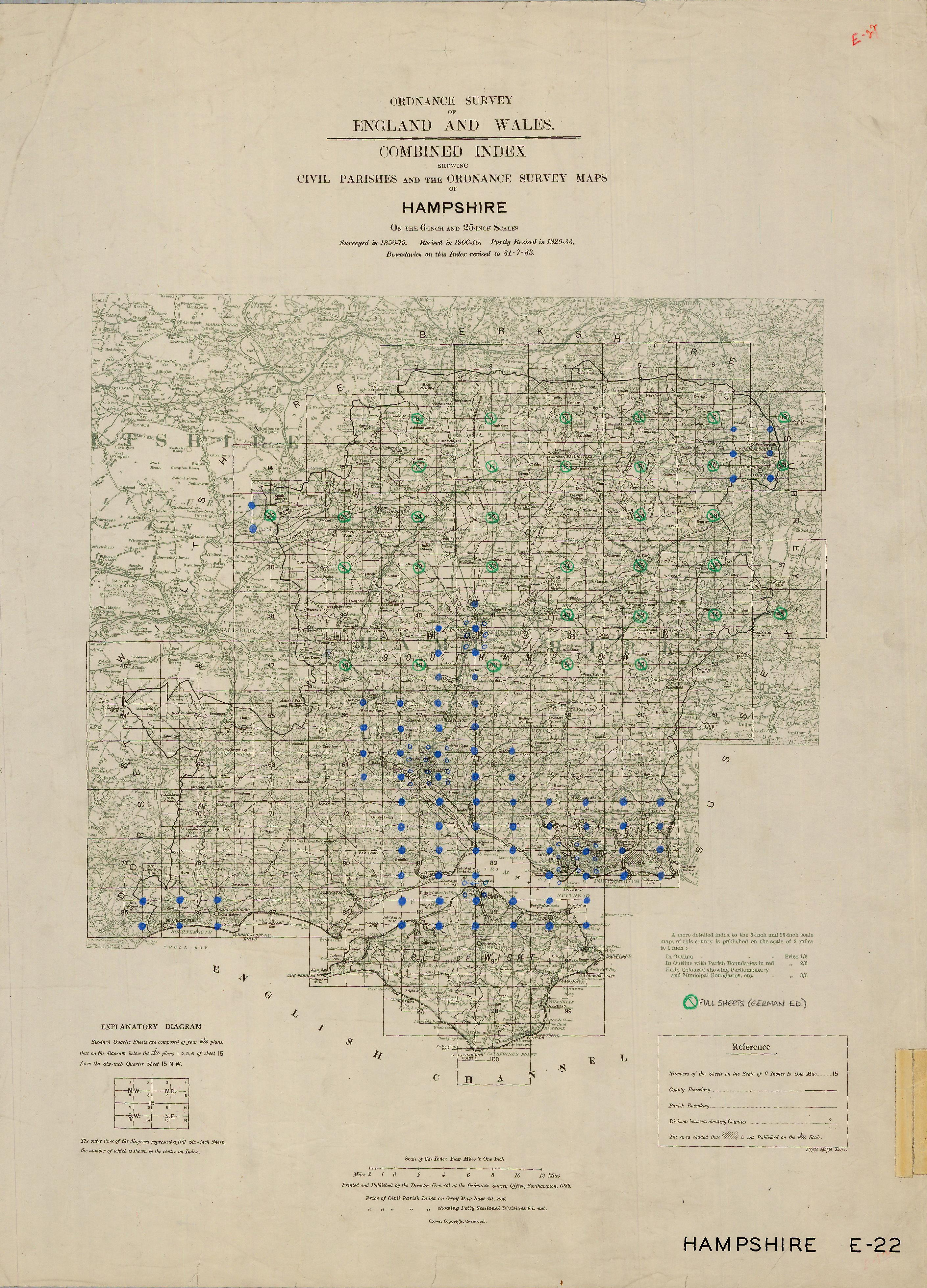 |
Hampshire |
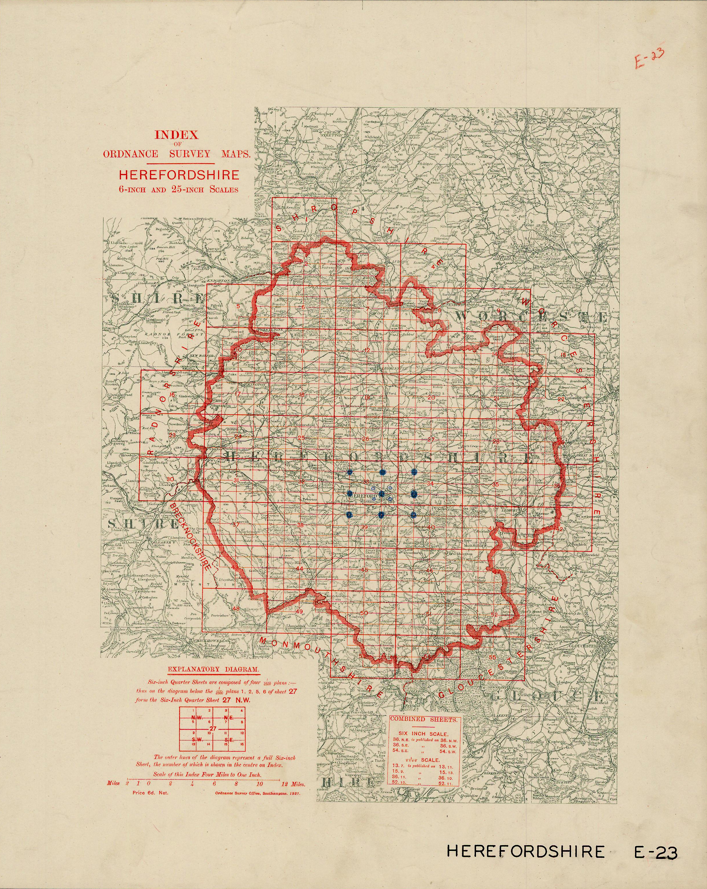 |
Herefordshire |
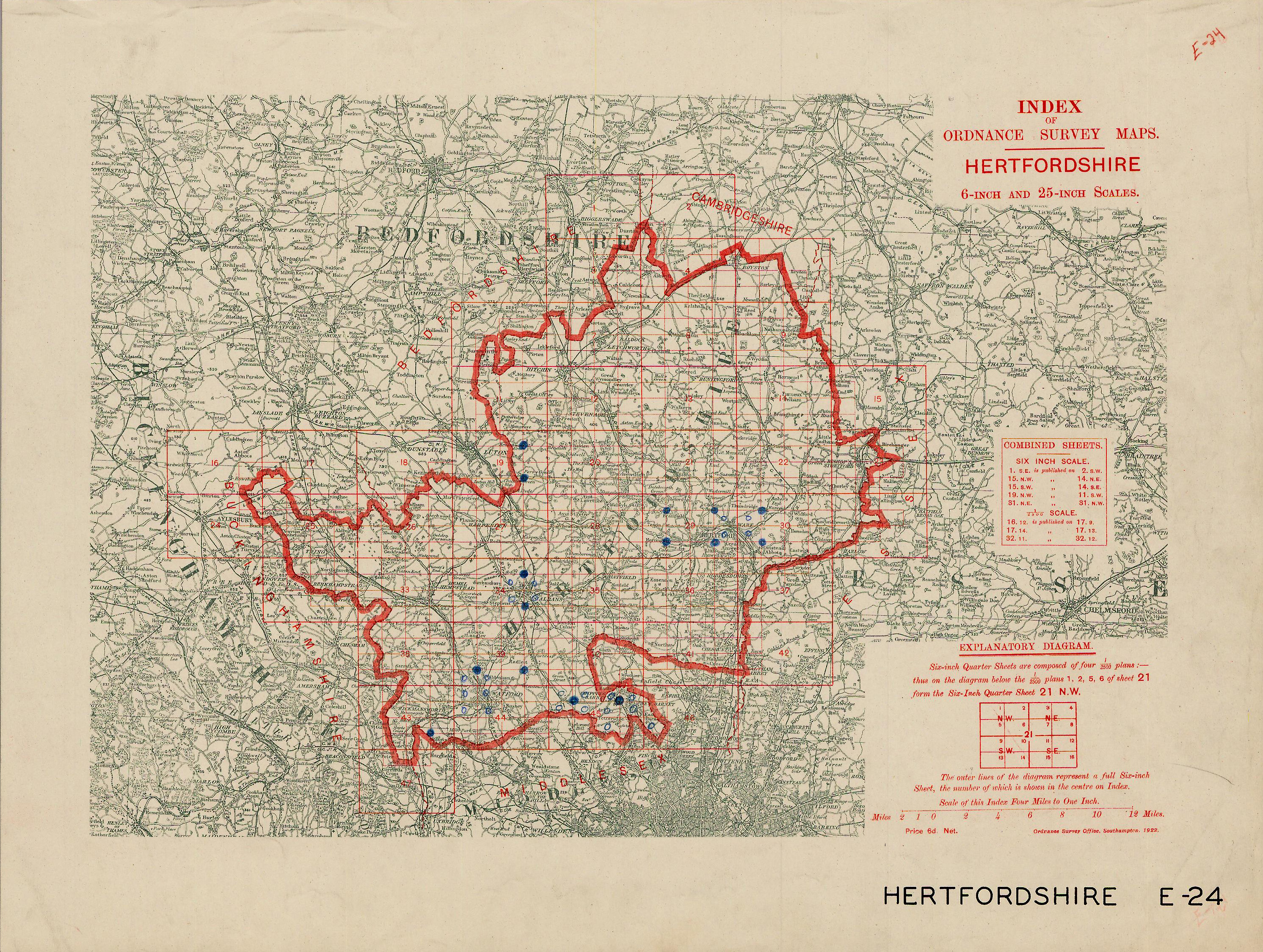 |
Hertfordshire |
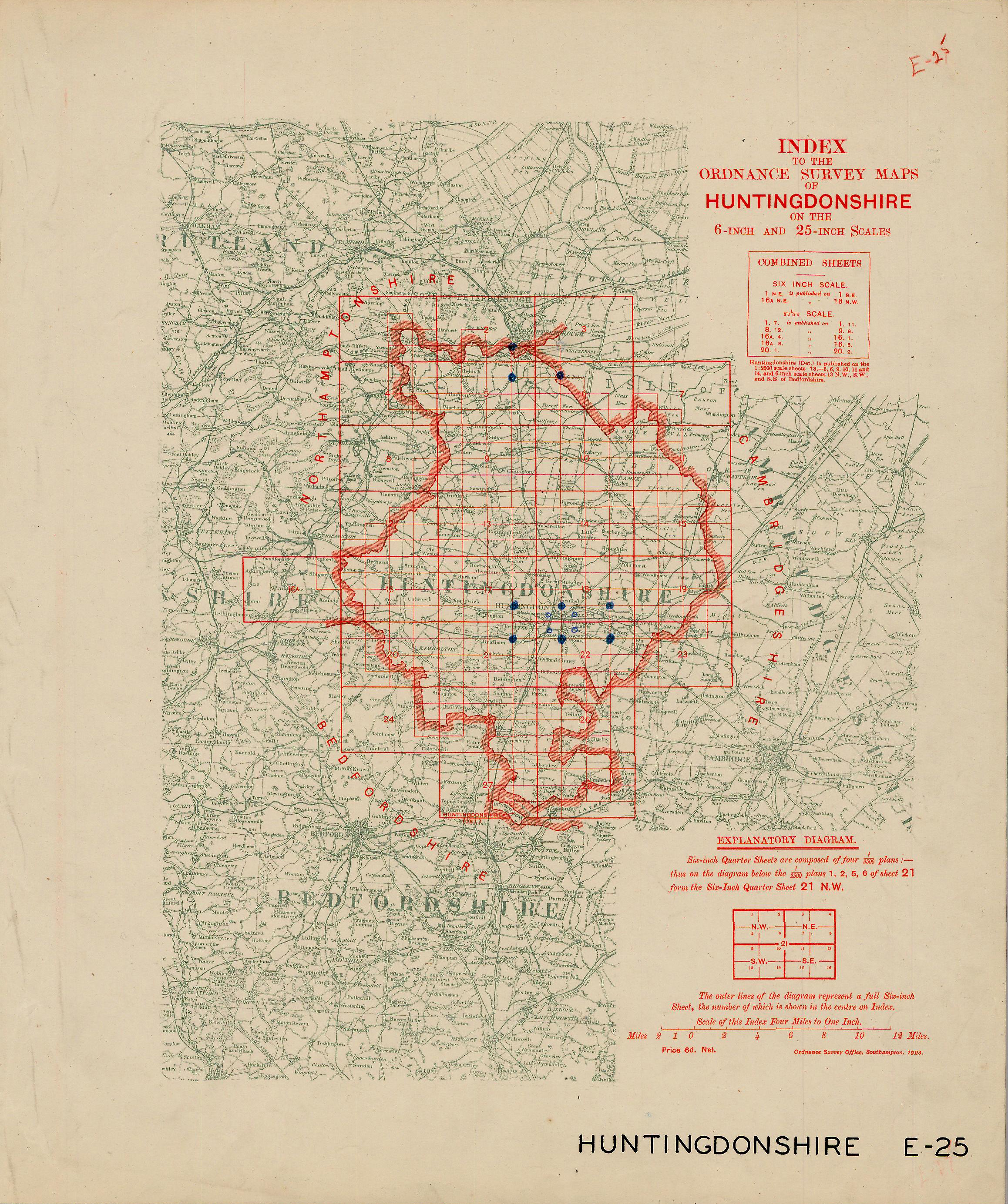 |
Huntingdonshire |
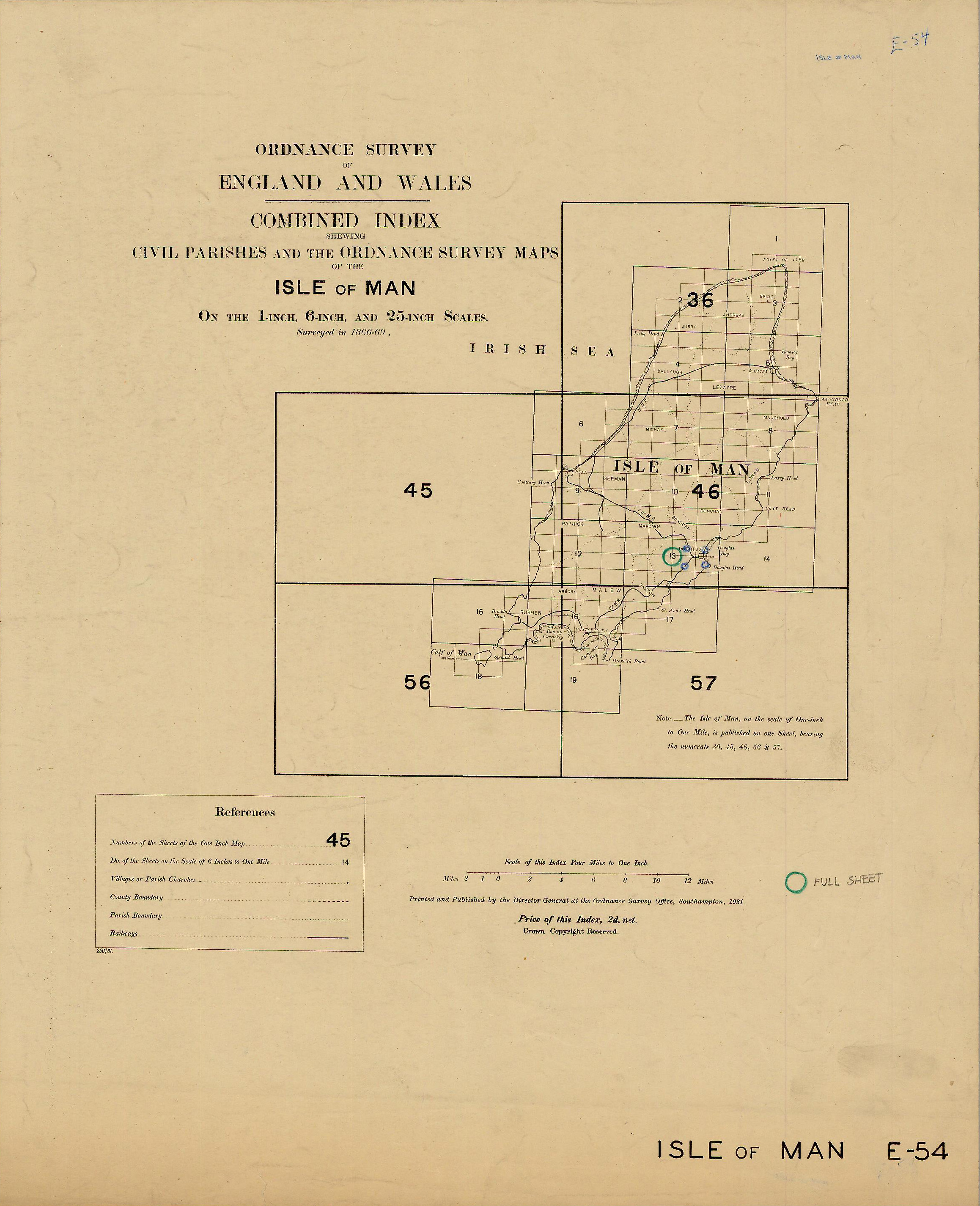 |
Isle of Man |
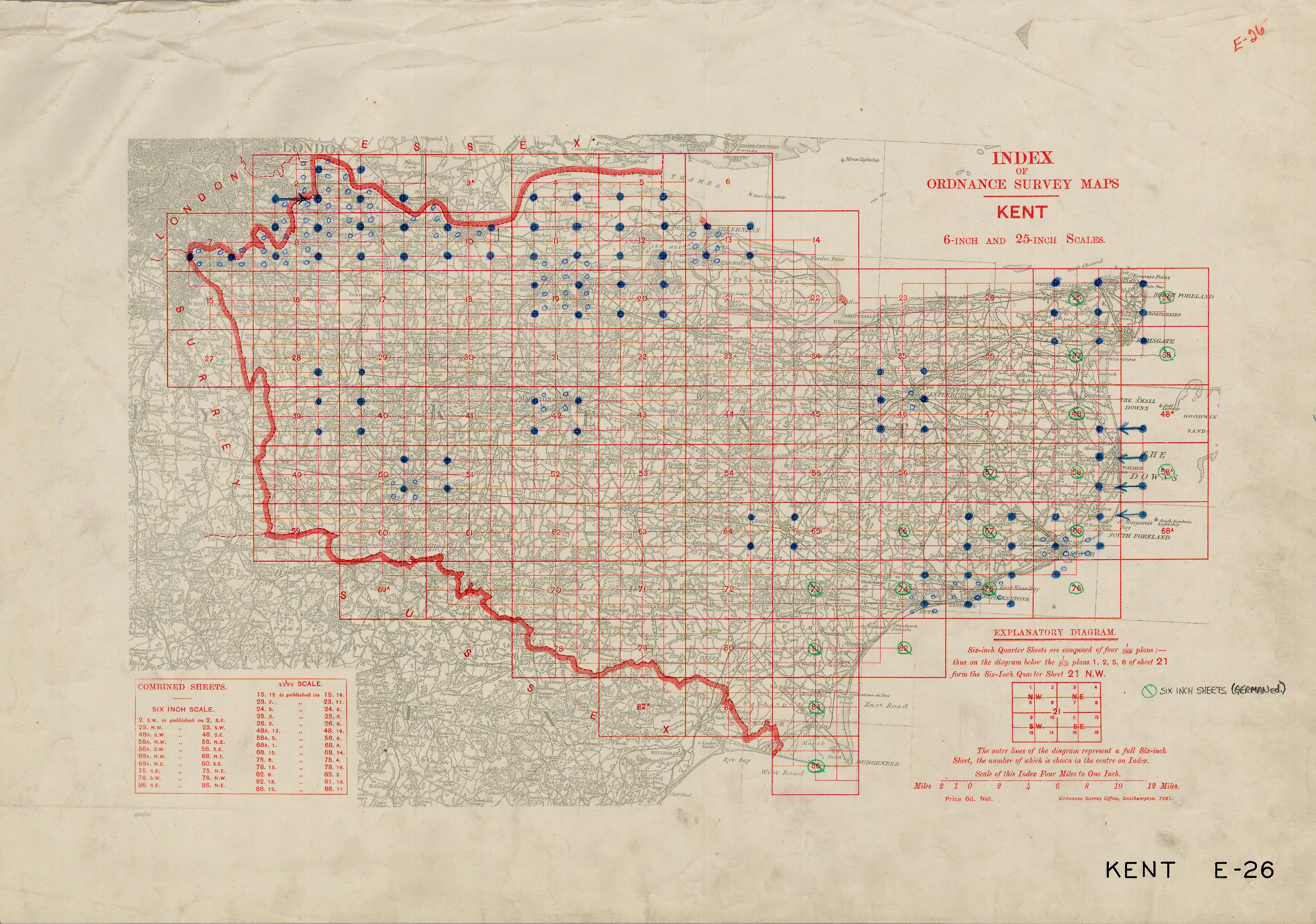 |
Kent |
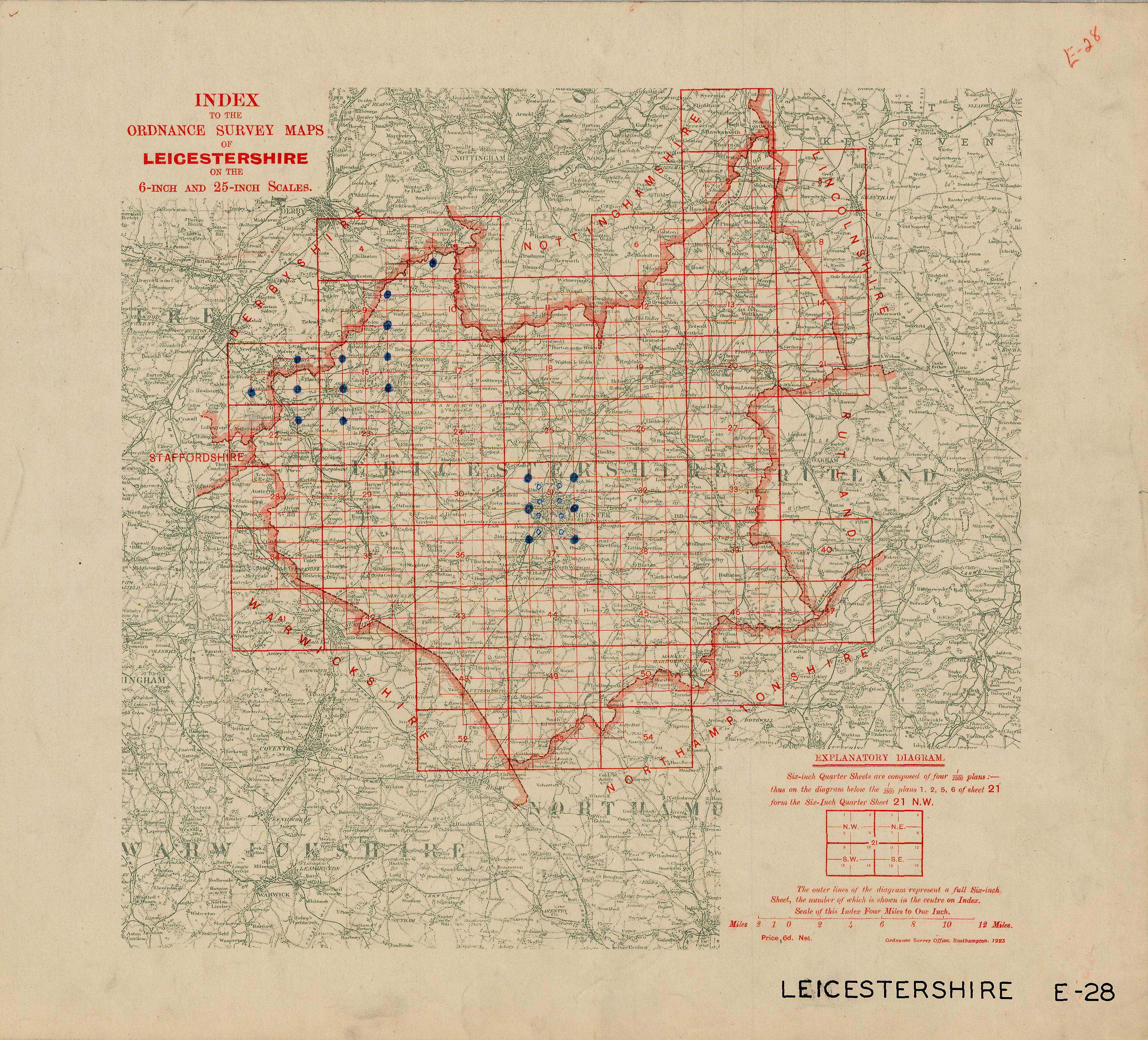 |
Leicestershire |
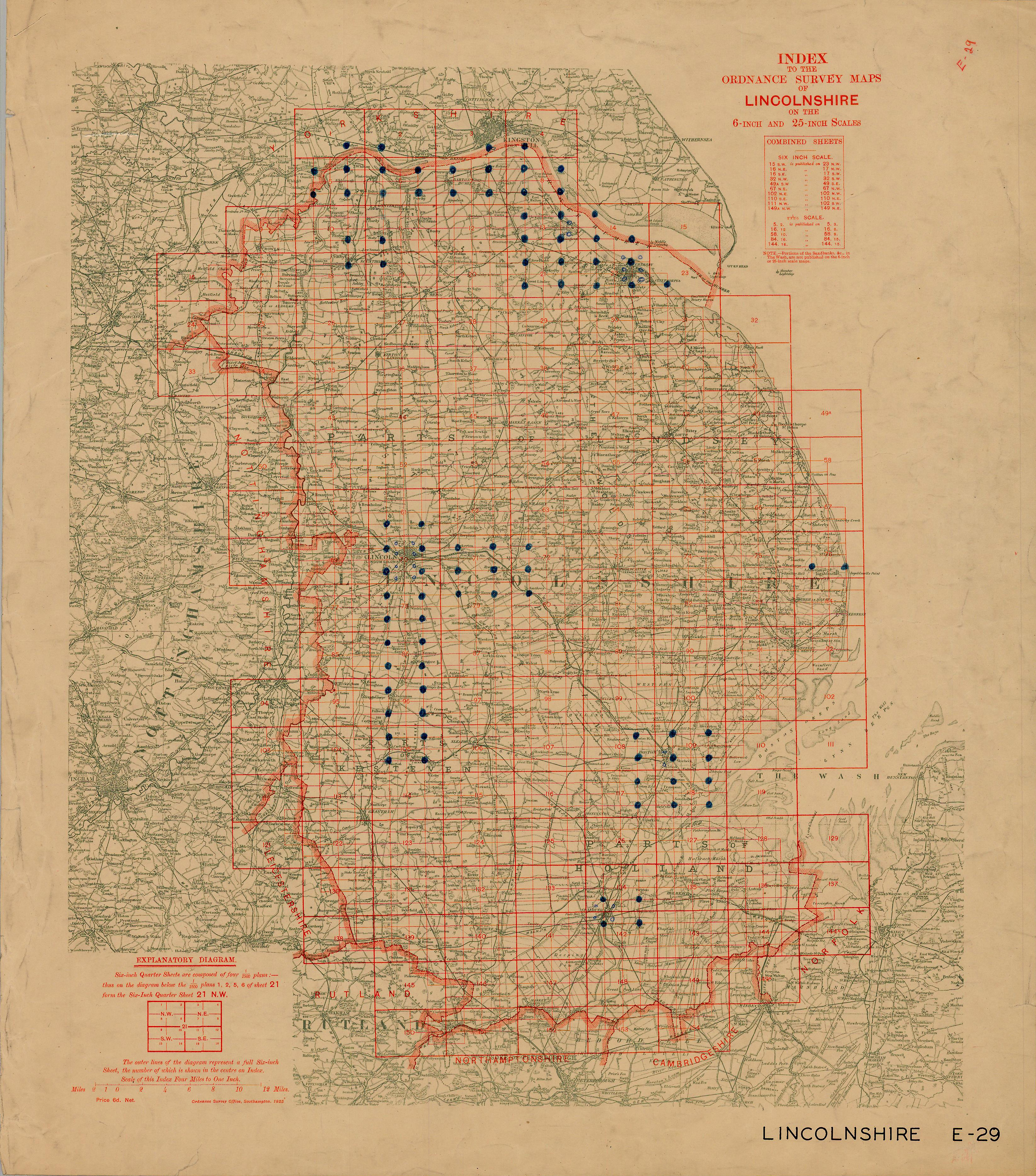 |
Lincolnshire |
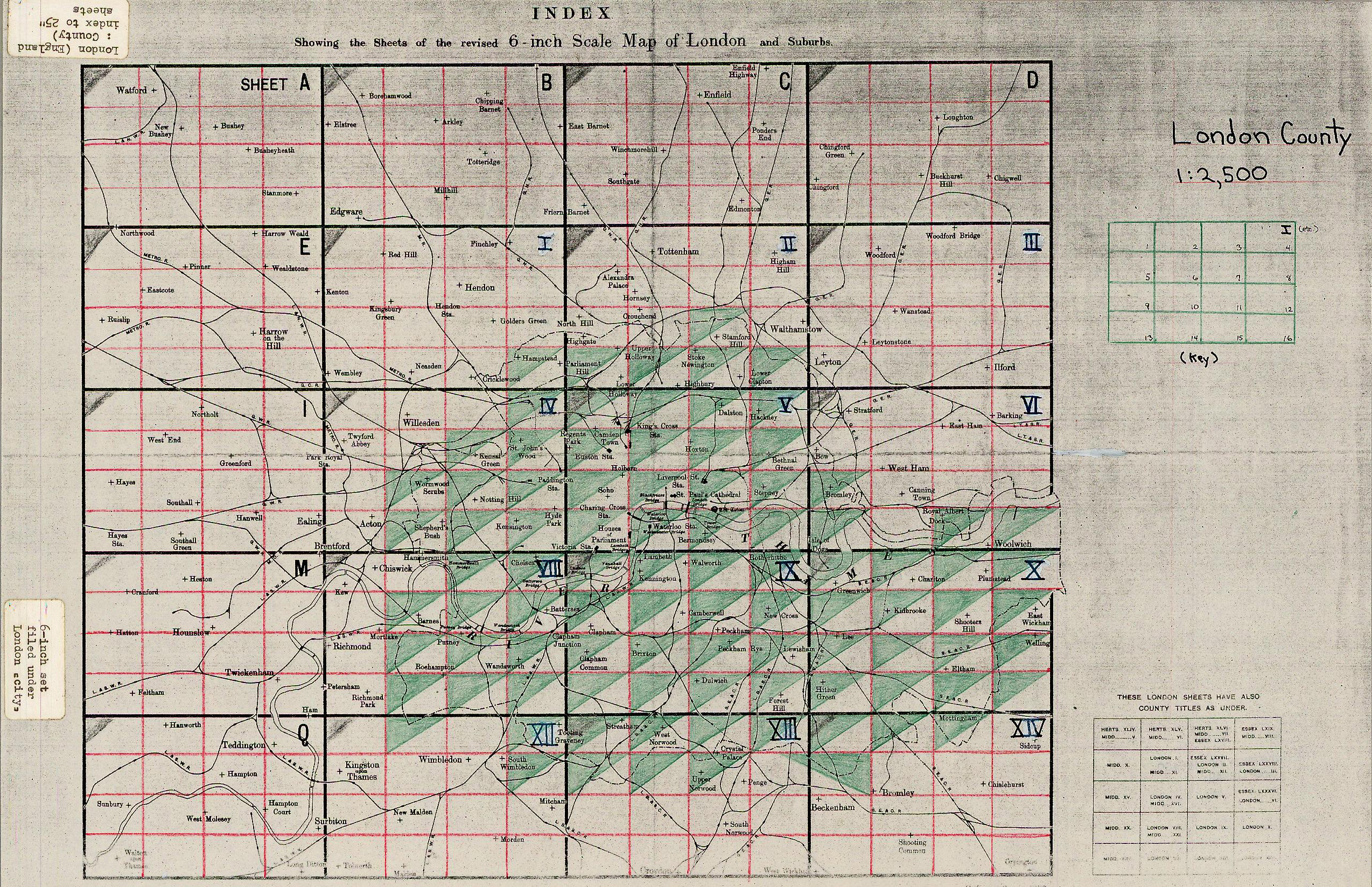 |
London |
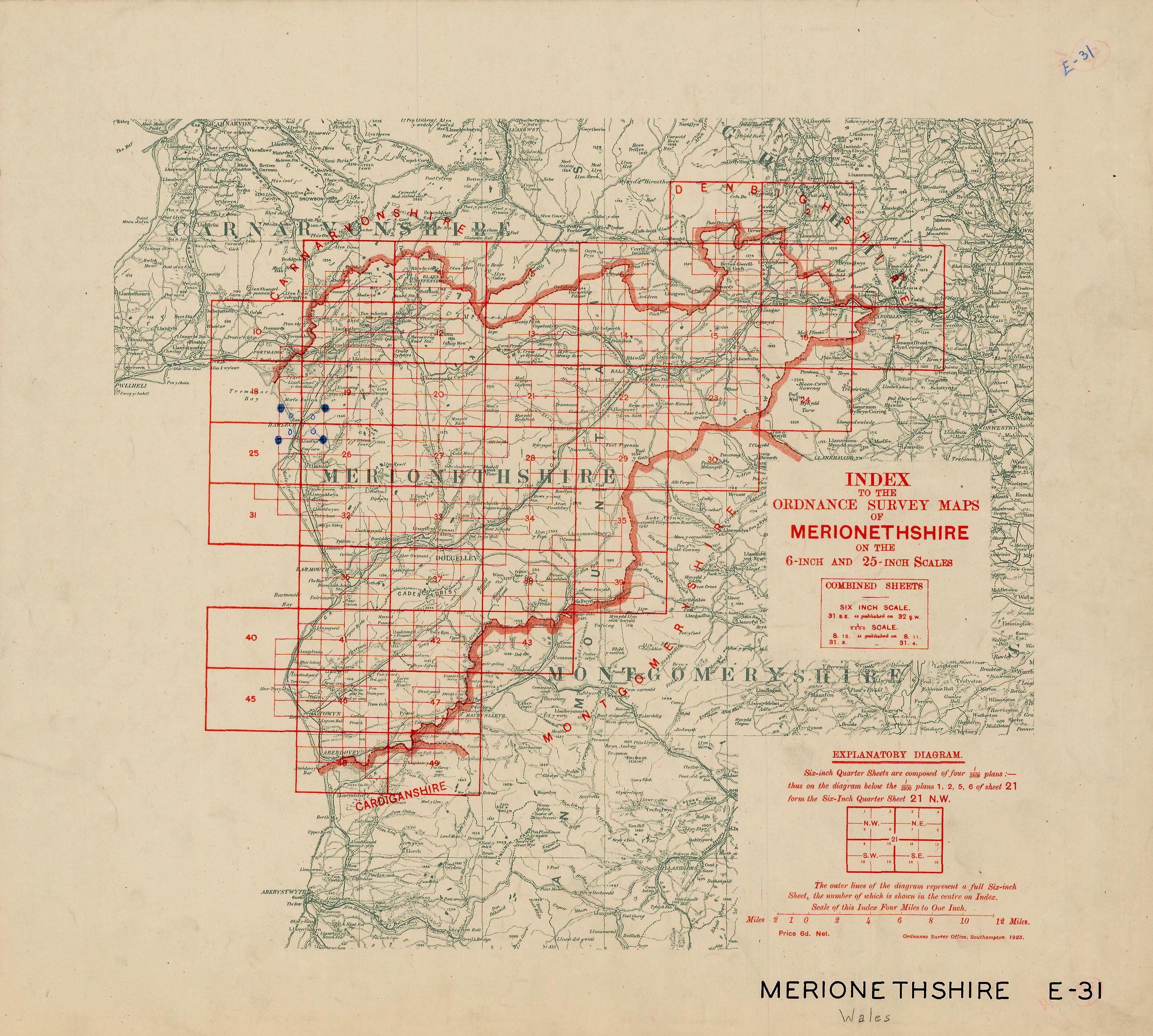 |
Merionethshire |
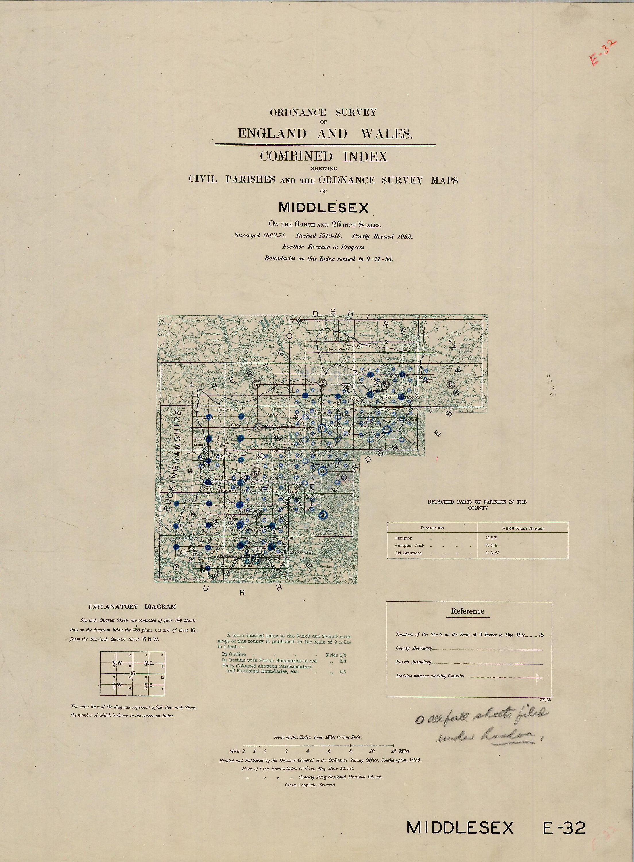 |
Middlesex |
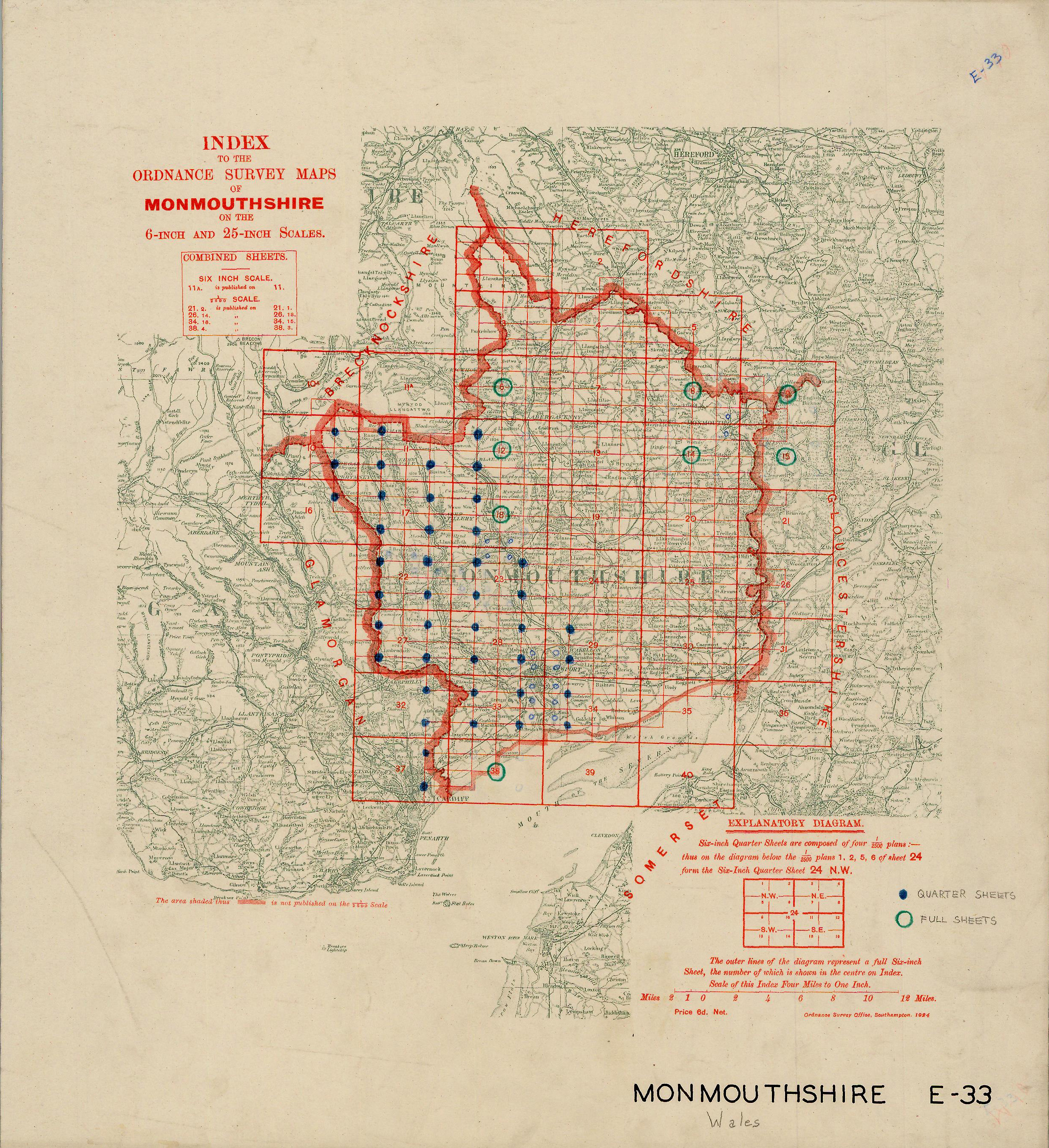 |
Monmouthshire |
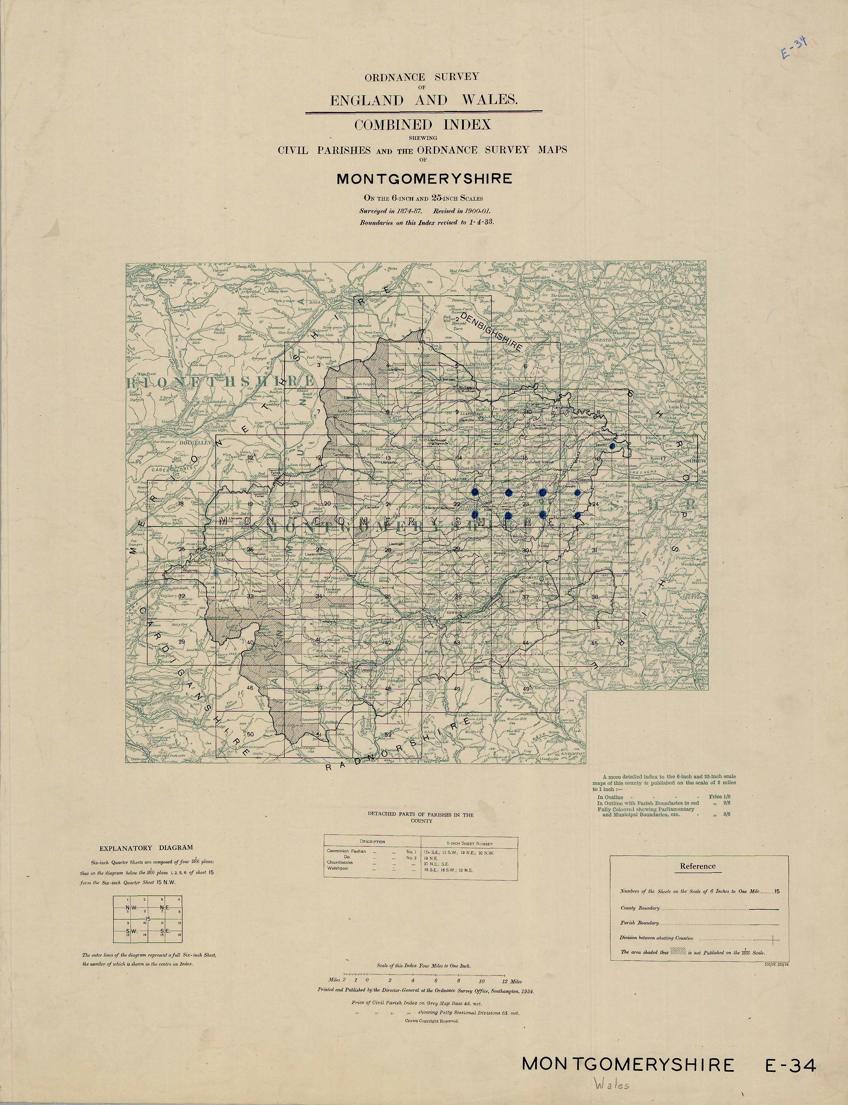 |
Montgomeryshire |
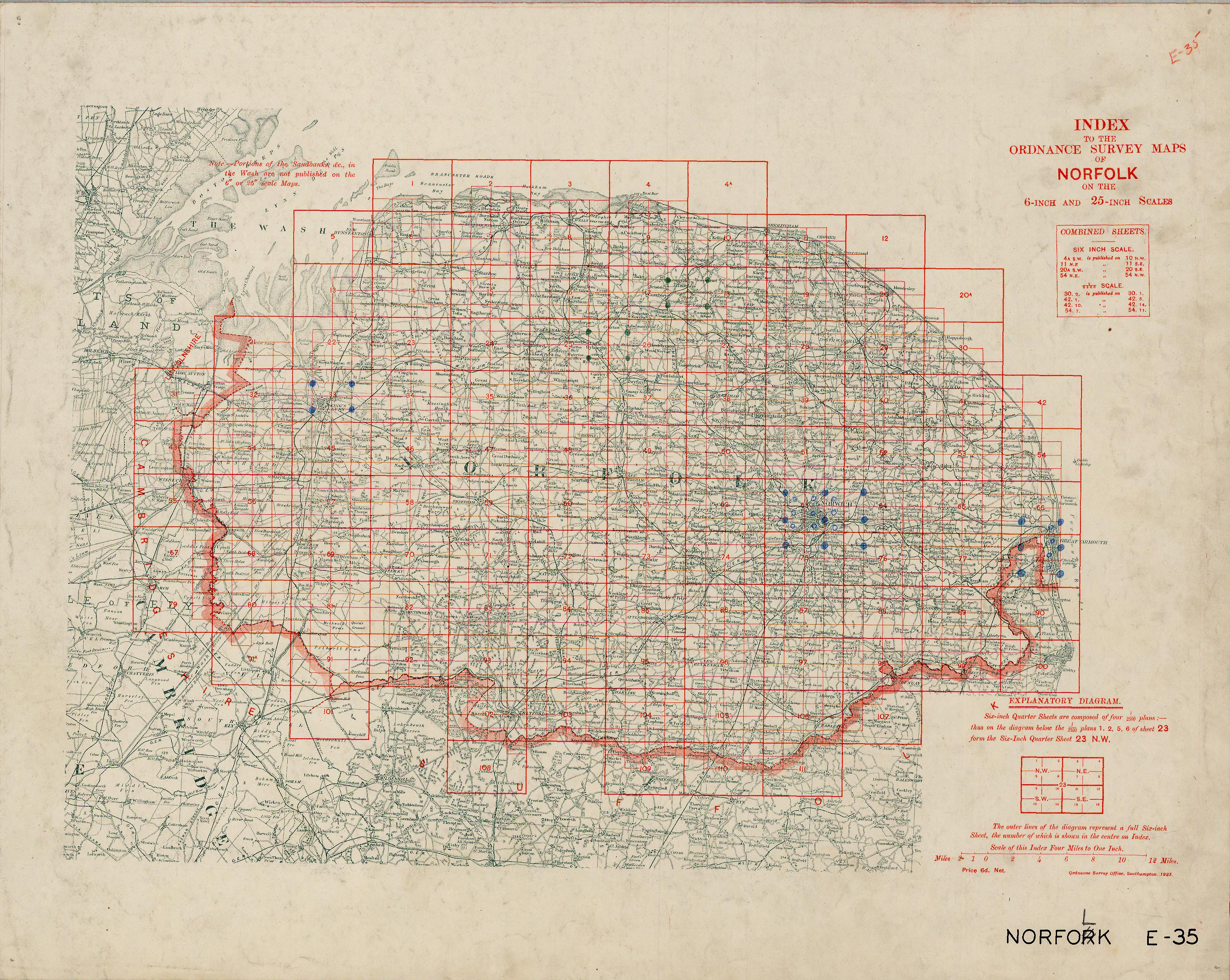 |
Norfolk |
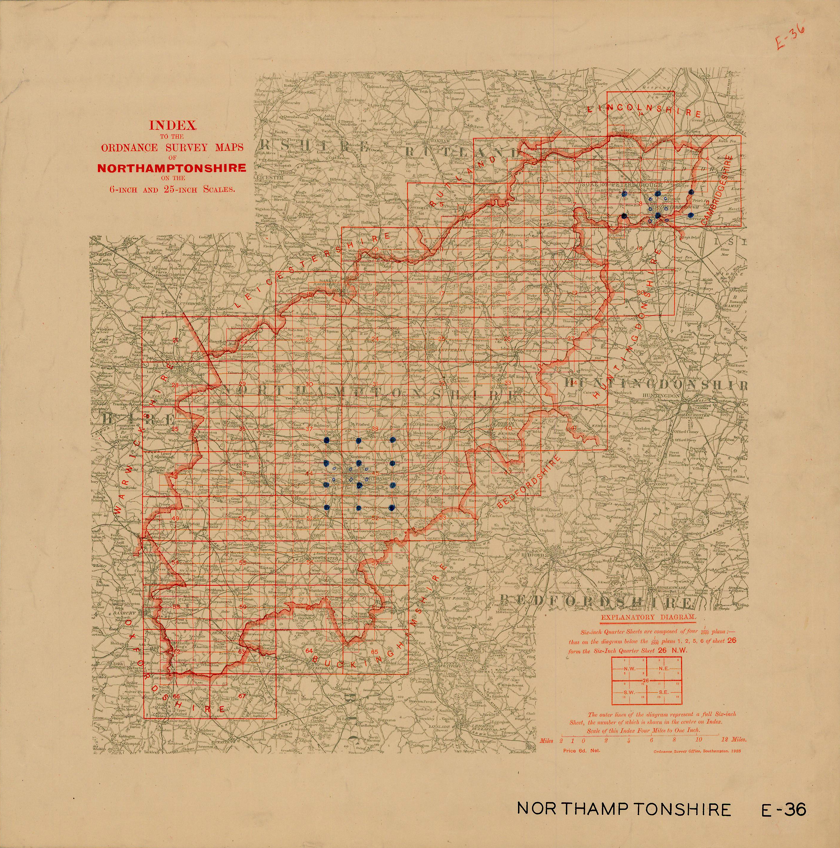 |
Northamptonshire |
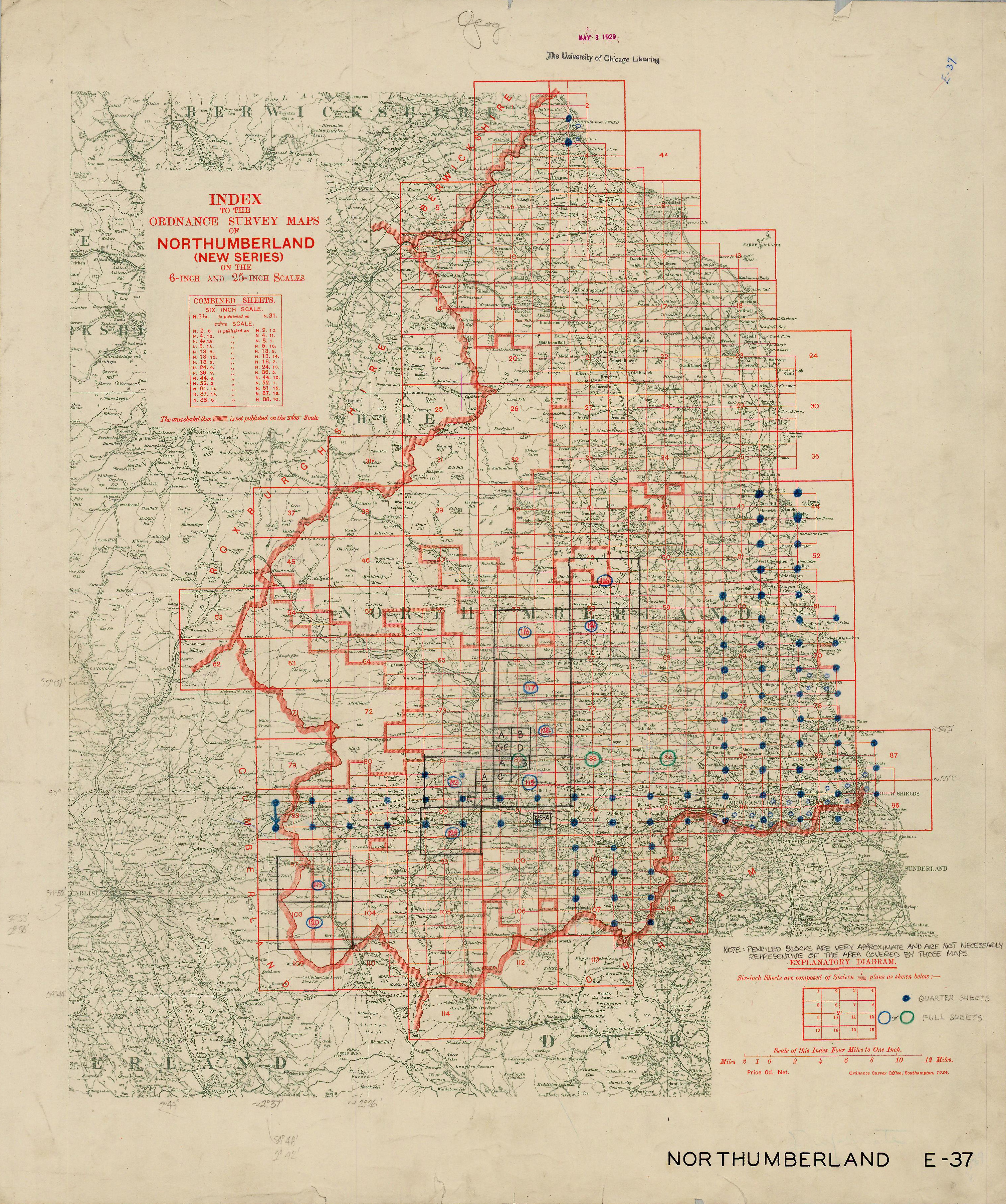 |
Northumberland |
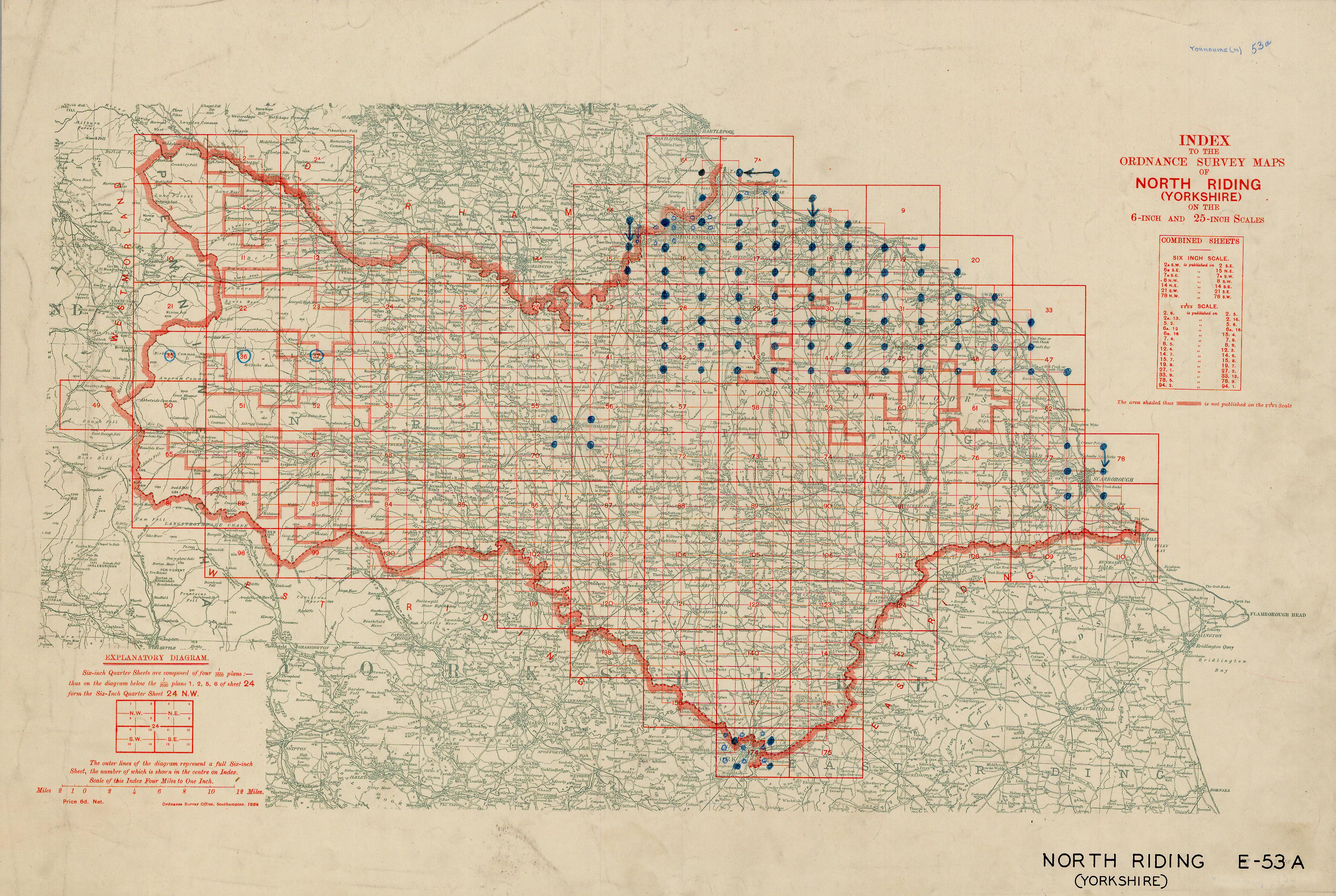 |
North Riding |
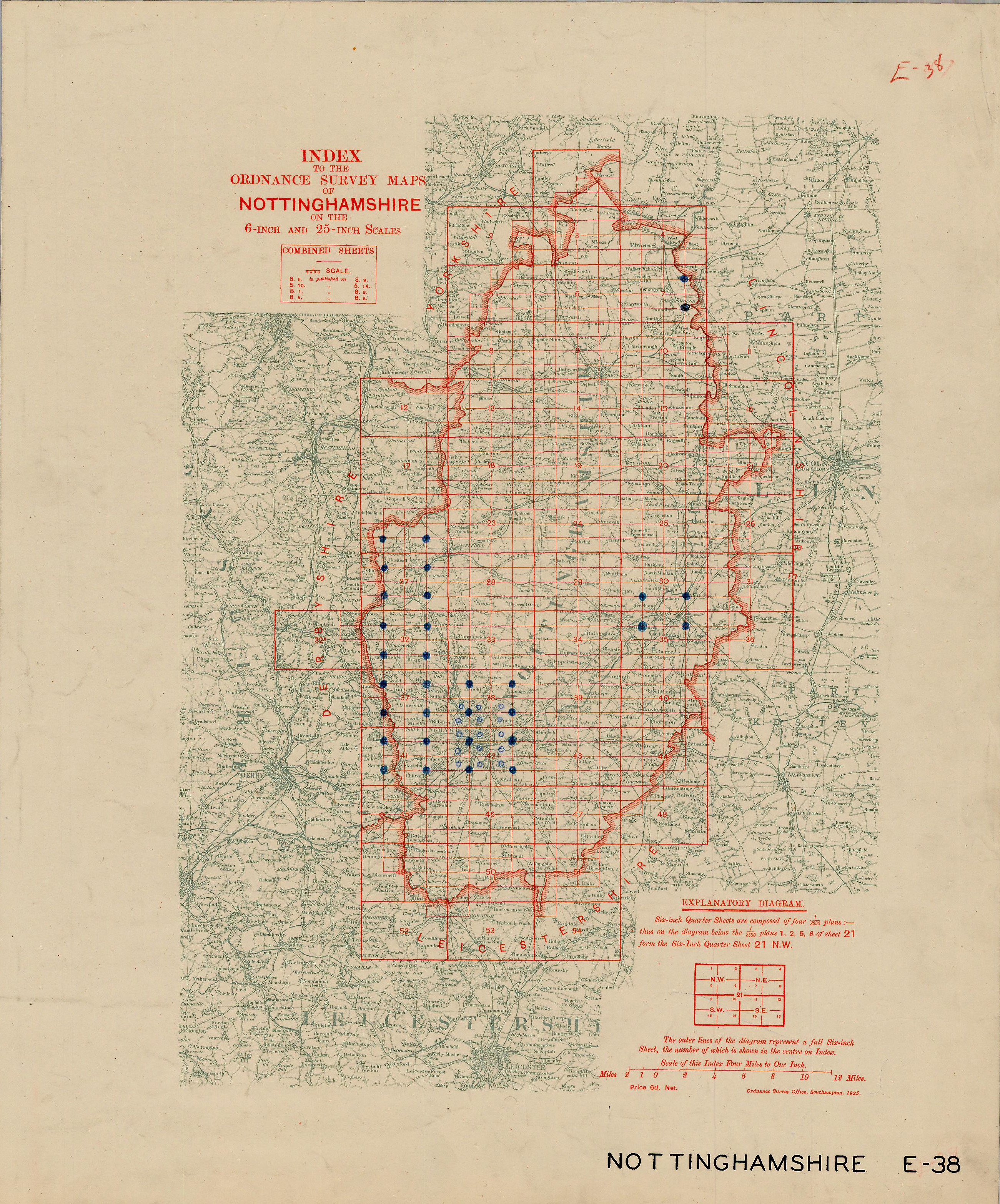 |
Nottinghamshire |
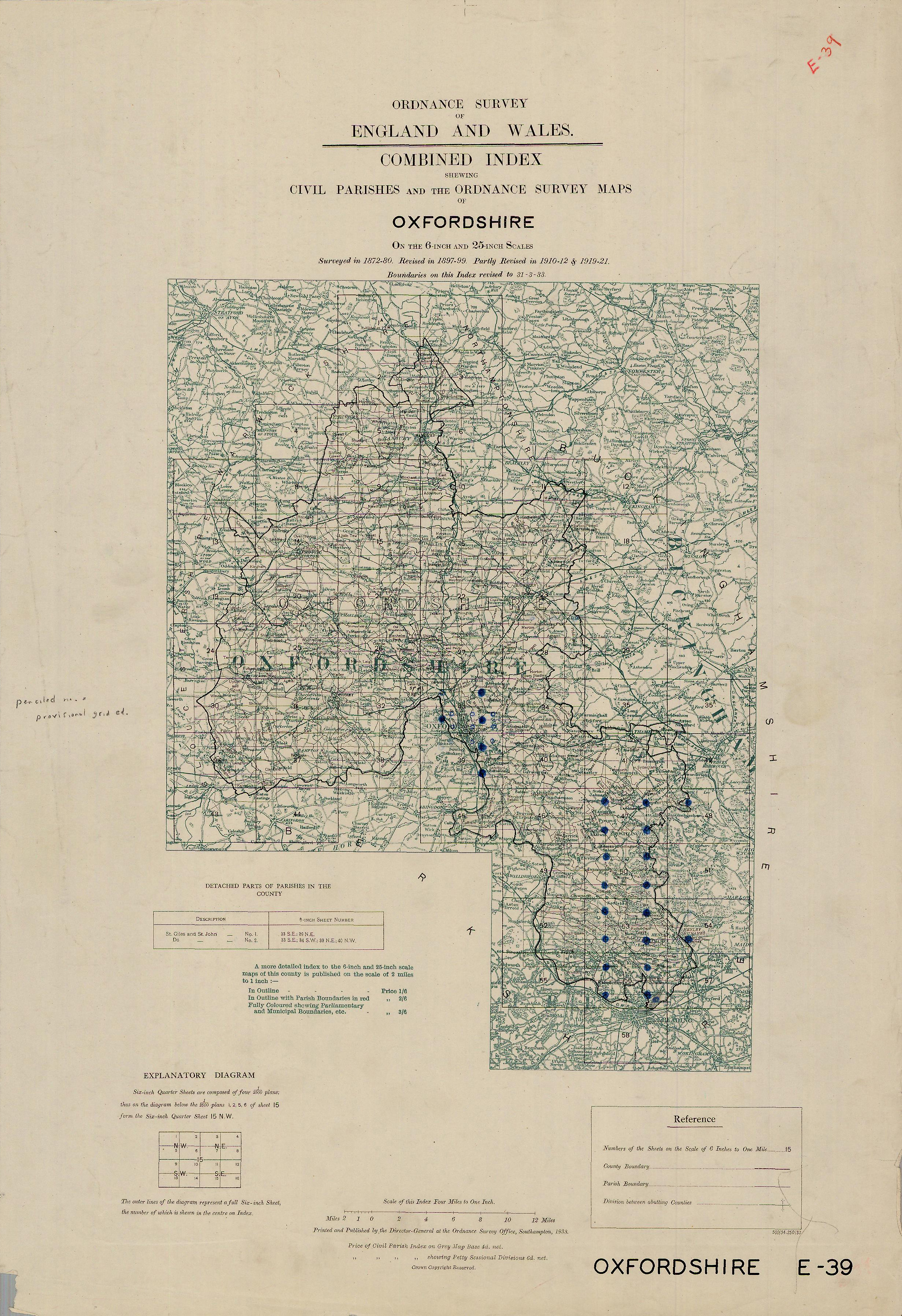 |
Oxfordshire |
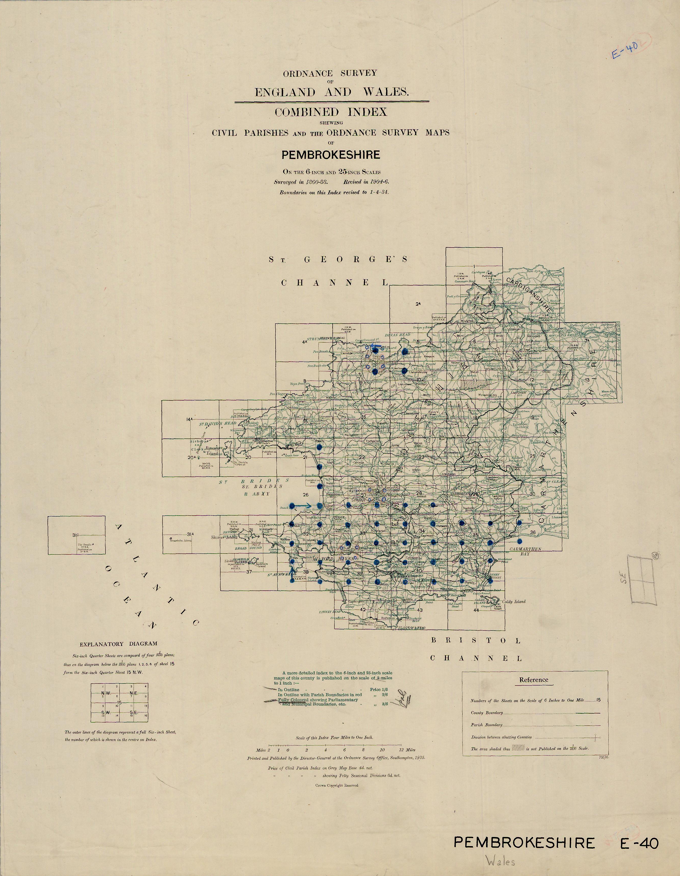 |
Pembrokeshire |
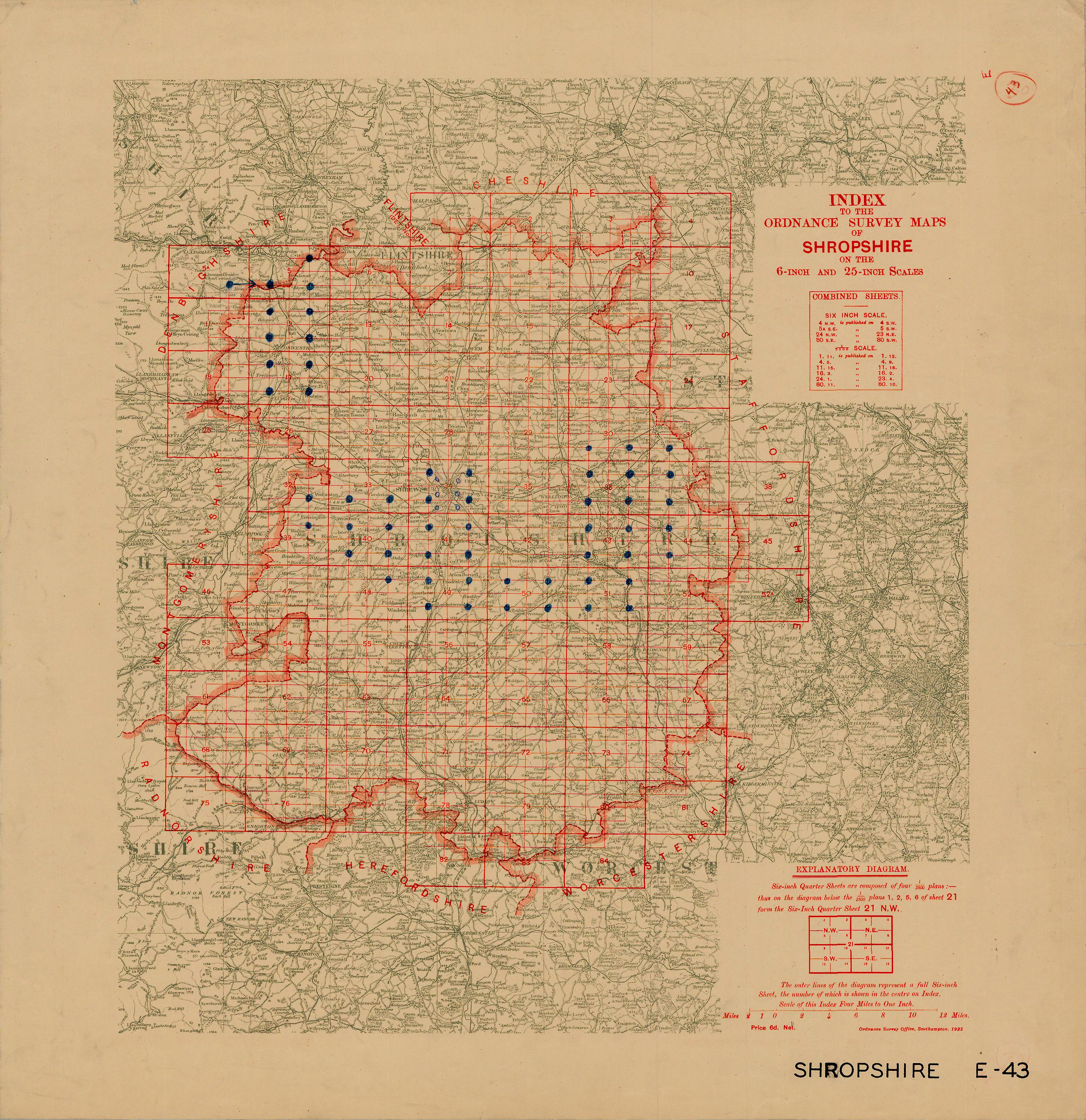 |
Shropshire |
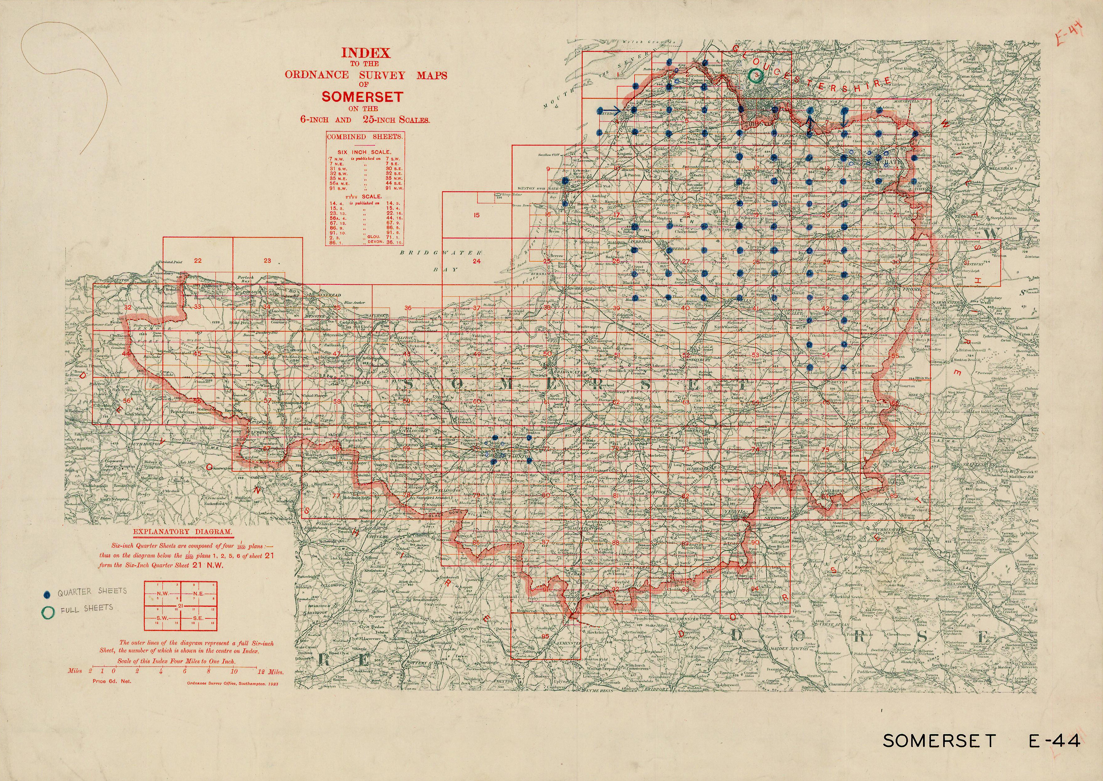 |
Somerset |
 |
Staffordshire |
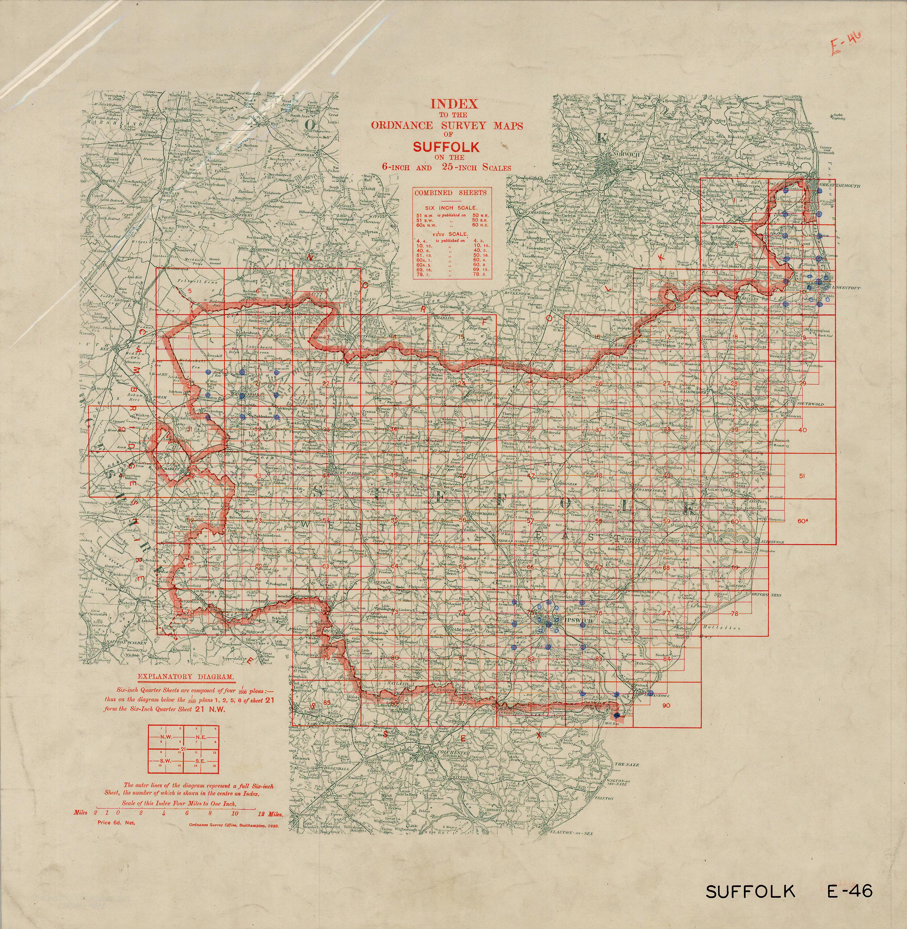 |
Suffolk |
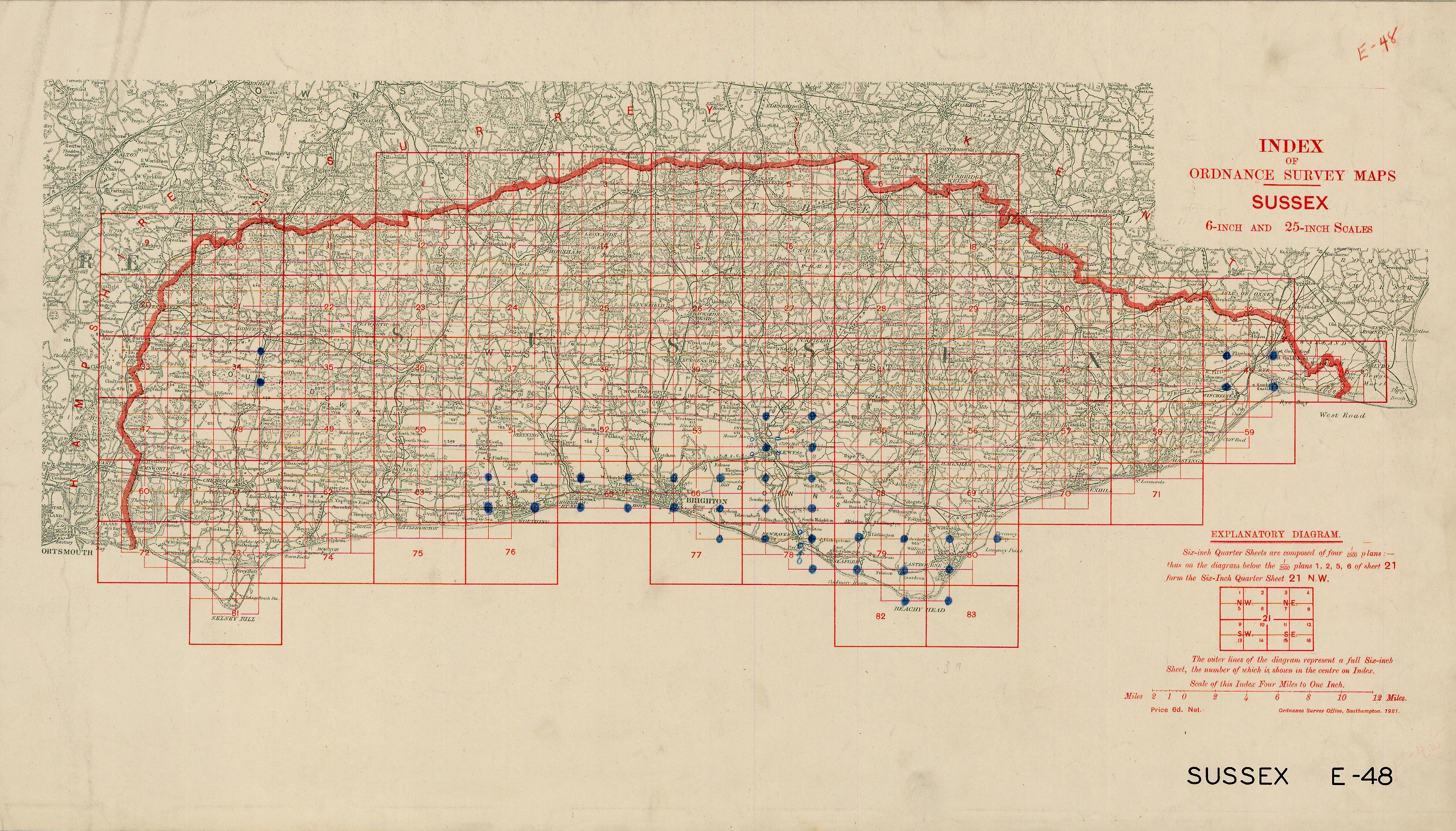 |
Sussex |
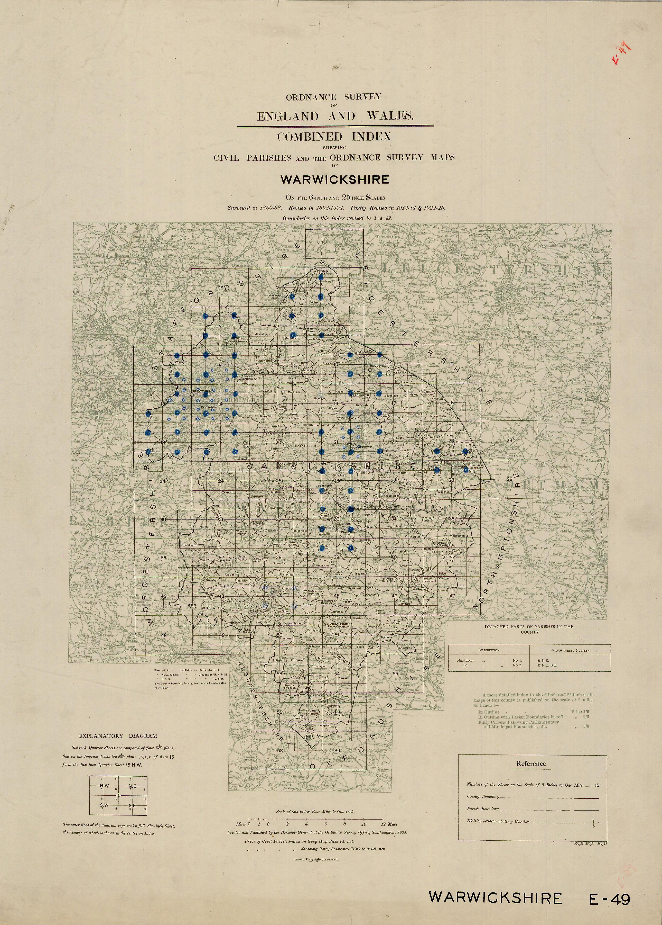 |
Warwickshire |
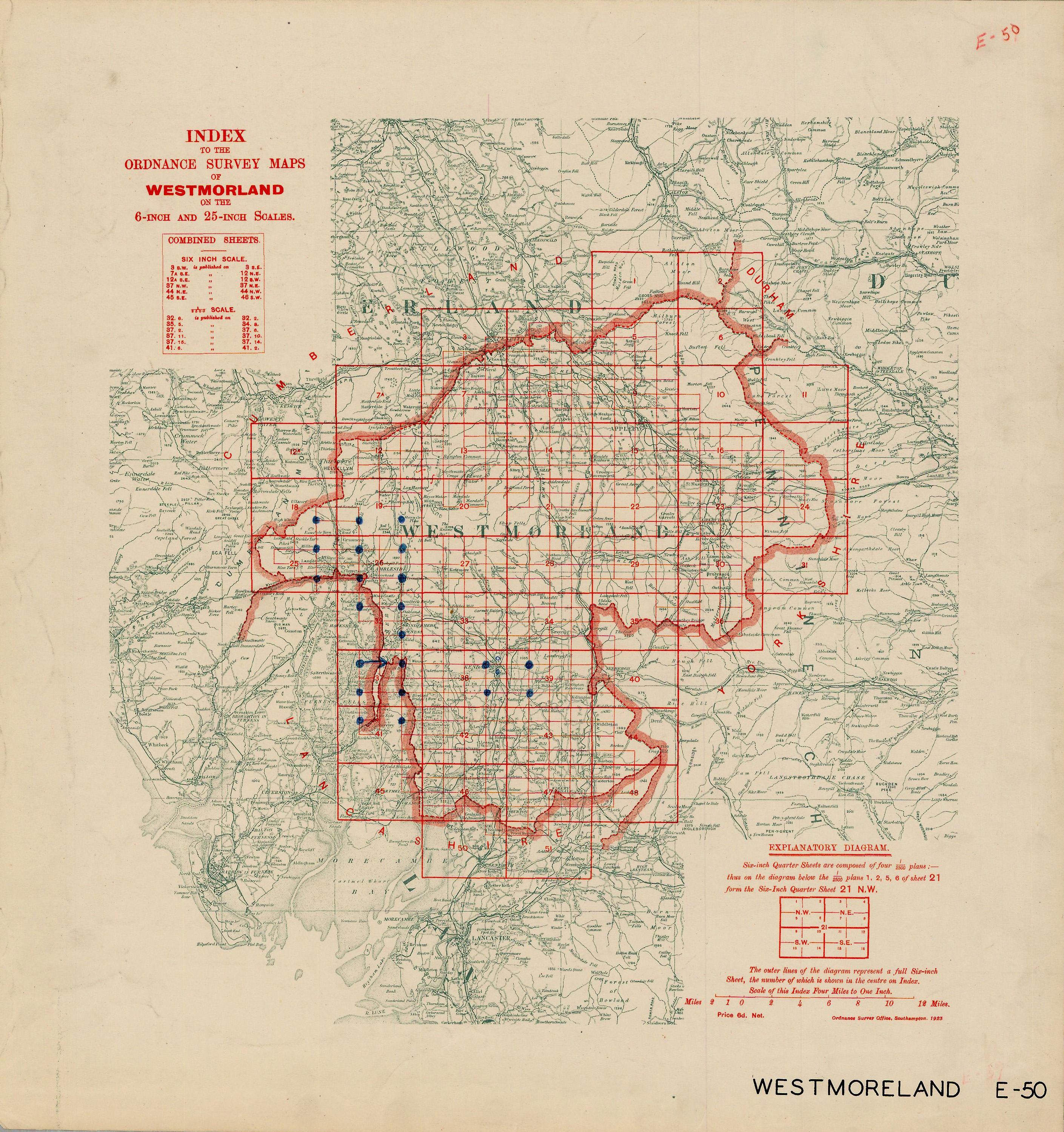 |
Westmoreland |
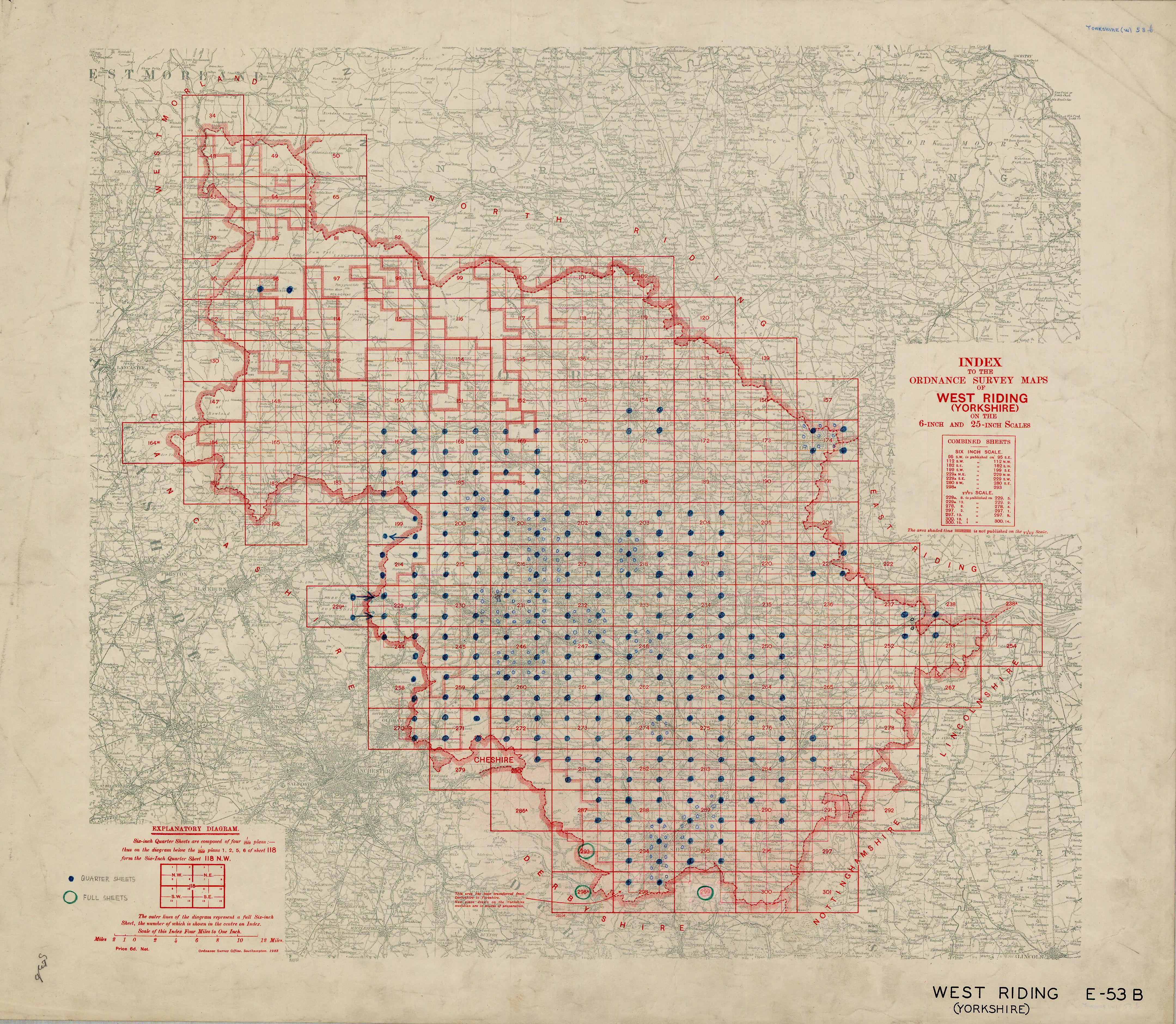 |
West Riding |
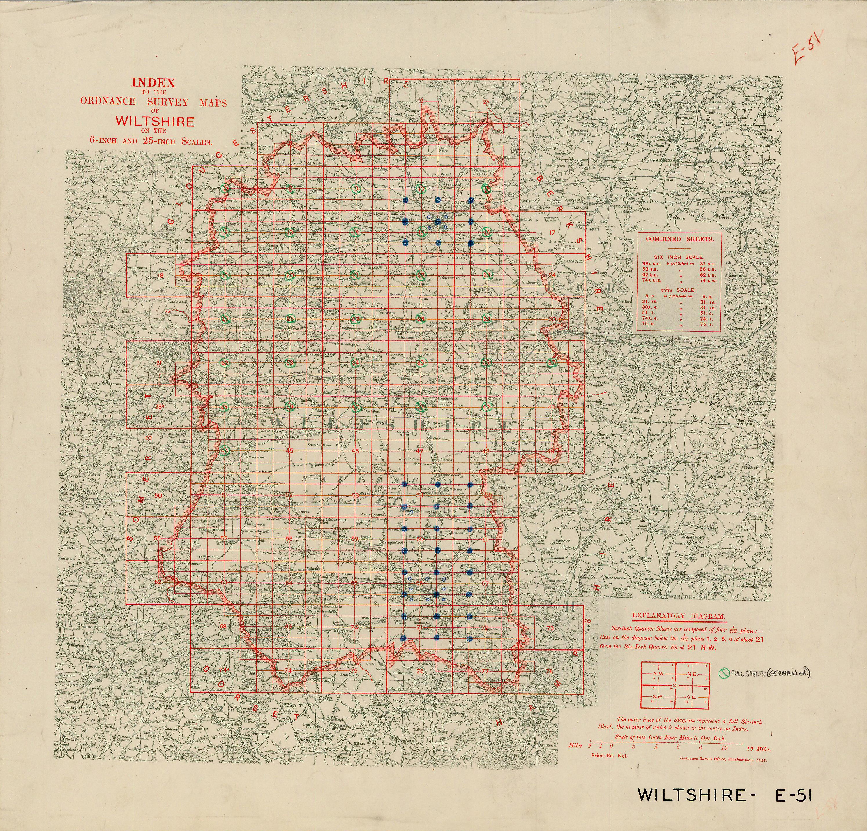 |
Wiltshire |
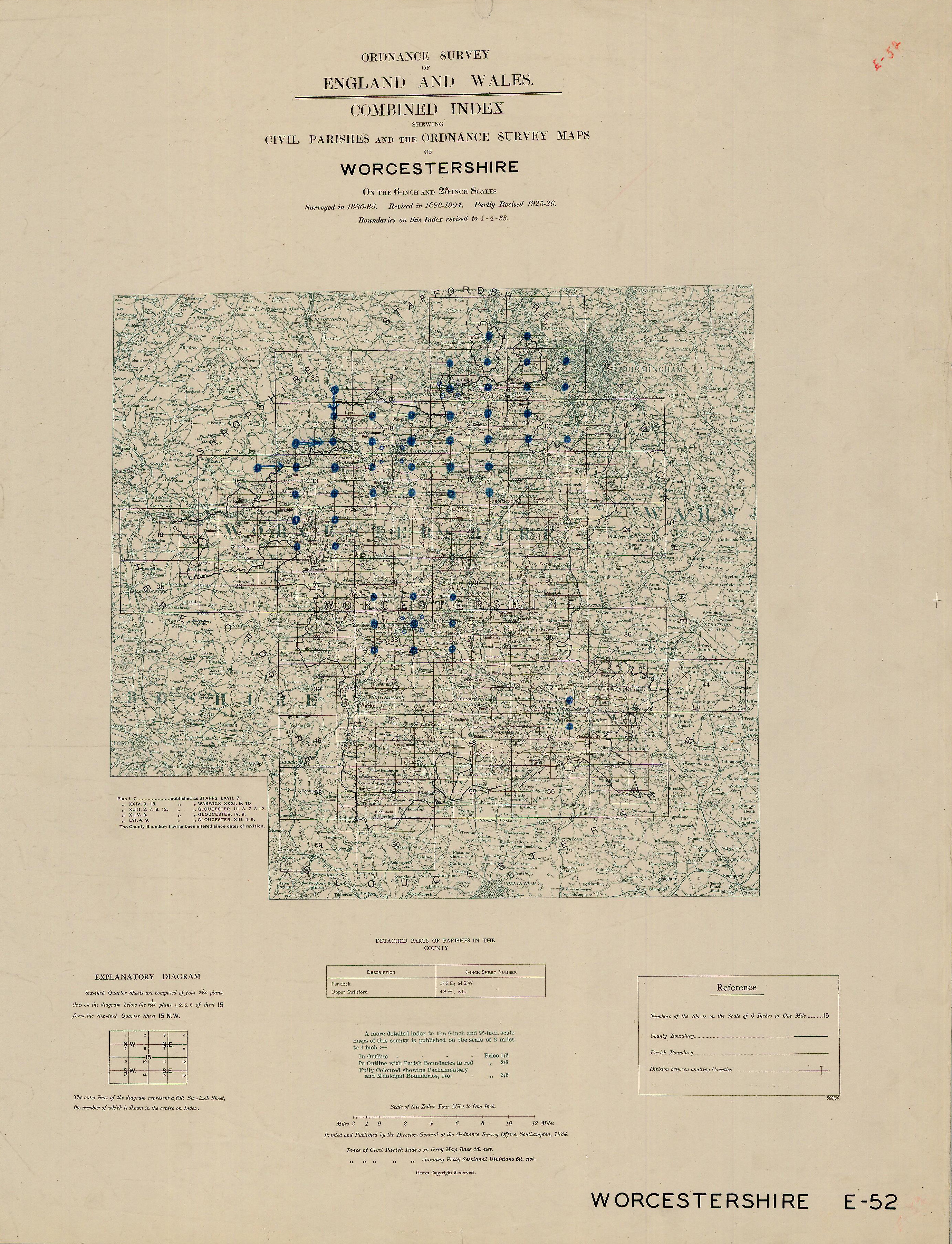 |
Worcestershire |

