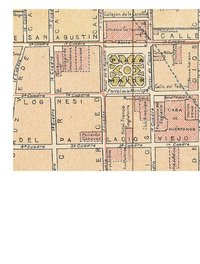
Late 19th- and early 20th-century sheet maps of Latin American cities that are held at the University of Chicago Library's Map Collection. The cities portrayed on these maps were not at all alike.
Some of the smaller and more out-of-the-way places--Oaxaca and Puno, for example--still had the morphology of late colonial cities. In Spanish-speaking Latin America, this meant that city streets were built on a simple grid centered on a plaza surrounded by governmental and religious buildings. The non-Spanish-speaking cities were similar but less uniform in their street pattern. (Cuzco and to a much smaller extent Mexico City were the only substantial cities whose form was influenced by pre-colonial Amerindian settlements.)
A few larger cities, however--Buenos Aires and Rio de Janeiro, for example--may have retained a colonial street pattern in their core but were in the process of being transformed completely. Thanks to growing commerce and industry, and massive immigration from abroad or from the countryside, such cities were expanding quickly. Buenos Aires in around 1910 became the first Latin American city to reach a population of 1,000,000. Rio followed a few years later. Suburban railways and trams and, in Buenos Aires in 1913, a subway line allowed the rapid spreading out of the city. European planning ideas encouraged the establishment of large parks. Housing of rich people and poor people became quite separated. Cities like Buenos Aires and Rio de Janeiro in the early years of the 20th century were in the process of becoming part of the modern world.
View Online Collection