Earth Day spatial resources spotlight: ArcGIS Online and the Living Atlas
In celebration of Earth Day, the University of Chicago Library is spotlighting spatial data resources for environmental research and learning.
ArcGIS Online is a robust tool for visualizing and analyzing spatial data. The platform provides a range of data, such as locations of restaurants, census statistics, watershed networks, terrain elevation, and regional prevalence of COVID-19. Users can search for data layers to create their own interactive web maps and applications that can be shared with colleagues or the public.
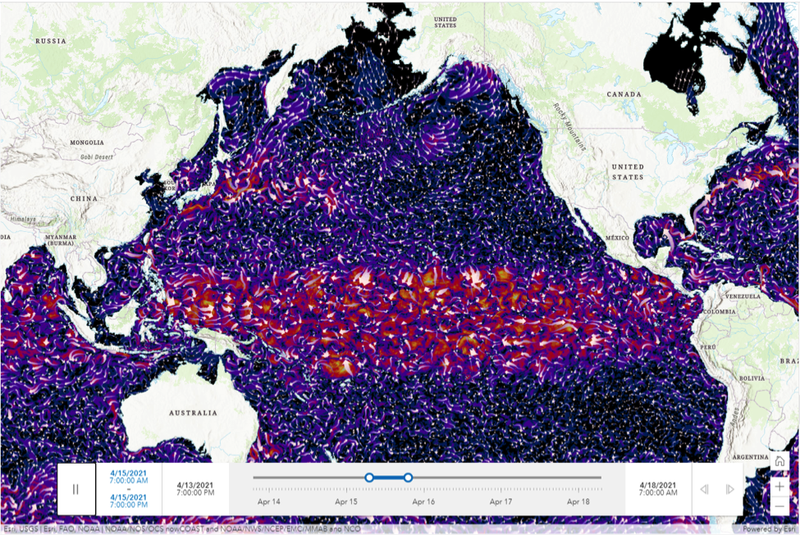
The Living Atlas is a curated collection of geographic information from around the world that is accessible through the ArcGIS Online platform. Among the datasets are environmental layers, including aerial imagery, weather and climate, forestry, terrain, habitats and species, and many others. These layers are a great way to introduce spatial thinking in the classroom or as base layers for research projects. For example, to explore the potential impact of the Fukushima Nuclear Plant disposal plan on the California coast, the Living Atlas’ real-time ocean forecast data can be used to estimate when the wastewater will reach the United States.
UChicago students, faculty, and staff can log into ArcGIS Online using their CNetID. For help accessing and using these spatial data resources please contact the GIS & Maps Librarian Cecilia Smith, ceciliasmith@uchicago.edu.


