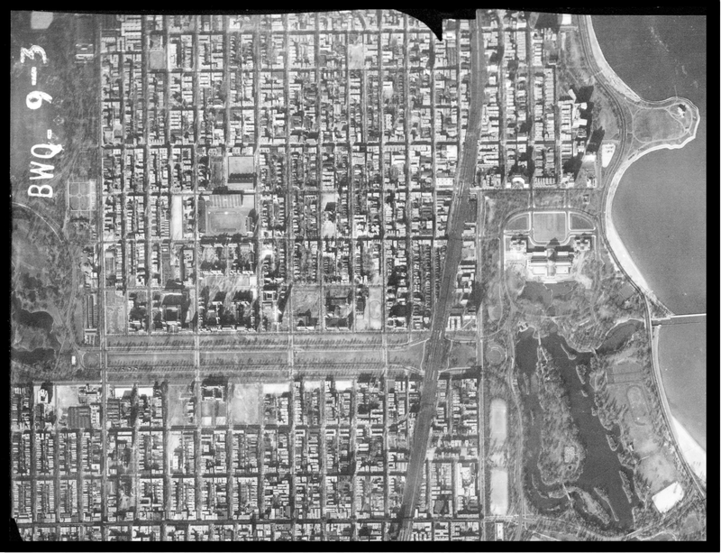
Mapping the University of Chicago explores the university's history by enriching interactive maps with archival material from the Hanna Holborn Gray Special Collections Research Center, maps from the Library's Map Collection, spatial data from Facilities Services, and other sources from the campus community.
The project is a collaborative effort inspired by the work of Mindy Schwartz, Professor of Medicine at the Pritzker School of Medicine, to share and celebrate the historical development of the Medical Campus.
Use the left navigation panel to view each mapping application researched and designed by Hanna Holborn Gray Graduate Student Fellows for GIS.