Asia in the Eyes of Europe
Imaging, Exploring, Mapping
Maps
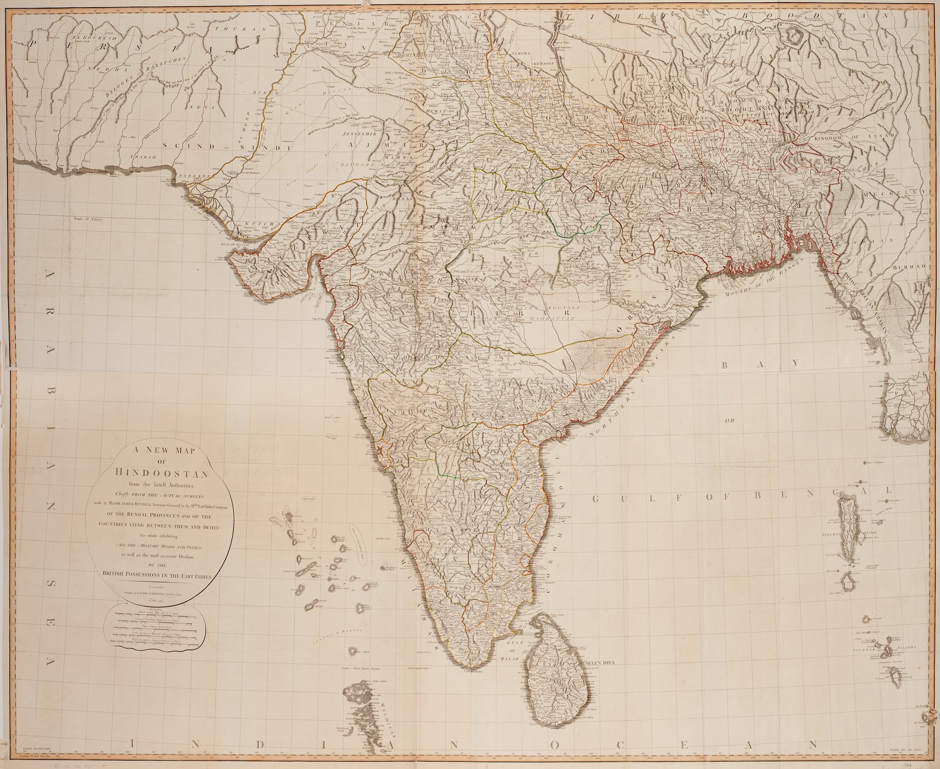
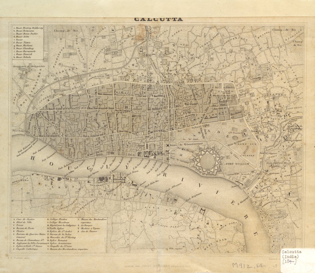
As European interests in South Asia shifted toward territorial rule, the production of accurate maps became an imperative. Early surveying efforts were undertaken by James Rennell (1742-1830), the first Surveyor General to the East India Company. Known as the "father of Indian geography," Rennell produced a series of pioneering maps that are remarkable for their precision and detail. The large historical map on display here is based on his masterful map of Hindoostan (1782), famous for being the first nearly accurate map of India.
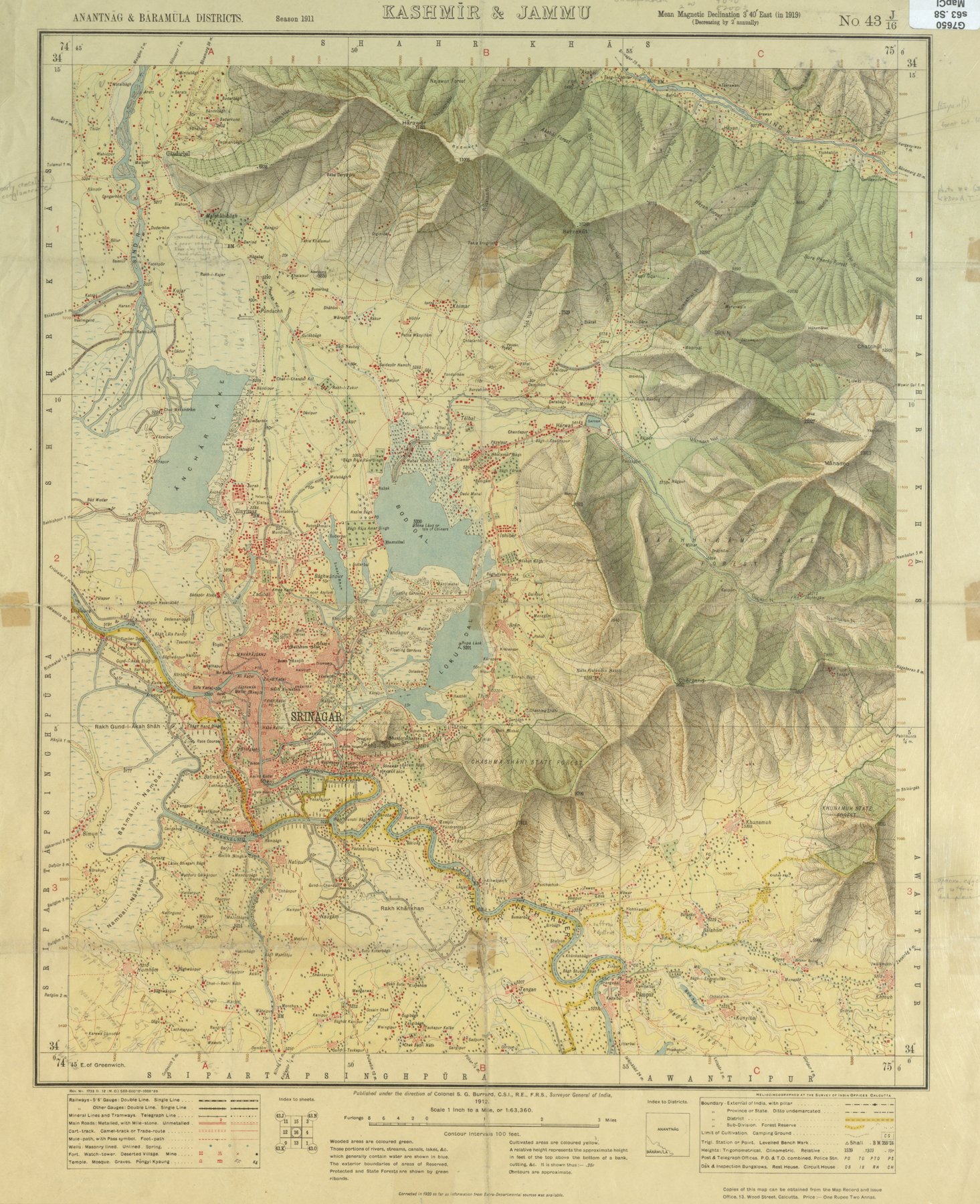
Rennell's mapping enterprise was superseded in the nineteenth century by the Great Trigonometrical Survey of India, which applied scientific techniques to the systematic documentation of the subcontinent. The Trigonometrical Survey became part of the larger Survey of India, a monumental undertaking begun in 1767, that has since produced an unparalleled wealth of topographical and other maps.
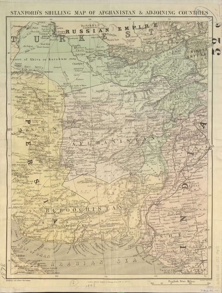
The geography of India and neighboring regions was of interest not only to colonial military experts and administrators but also to the general public in Europe. German, French, and English publishers such as Edward Stanford (1827-1904), retailer of maps in London, capitalized on an emerging market for maps that traced the growth of the British Empire and the conflicts on its borders. Stanford's 1878 "Shilling Map of Afghanistan and Adjoining Countries" depicts the region on the cusp of the Second Anglo-Afghan War.
The large maps of Bombay and Lahore are striking examples of urban maps produced by the Survey of India in the 1930s. Stylized mapmaking combined with the marketing of imperial goods in the pictorial map of Ceylon of the same period.
The Regenstein Library houses an extraordinary collection of some 20,000 modern and historical maps showing the physical, topographic, political, and thematic landscapes of South Asia.
Texts
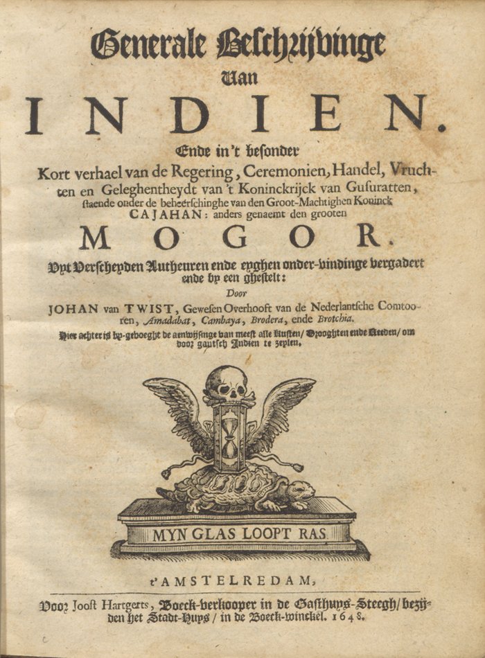
European accounts of South Asia shifted dramatically over the last five hundred years. Trade, missionary endeavors, scientific exploration, and artistic pursuits were among the many motivations for Europeans to journey eastward. Dutch, Portuguese, British, French, and Italian explorers documented their impressions of India and her people, giving colorful accounts of the Mughal court, the markets related to trade, local customs, and specific localities.
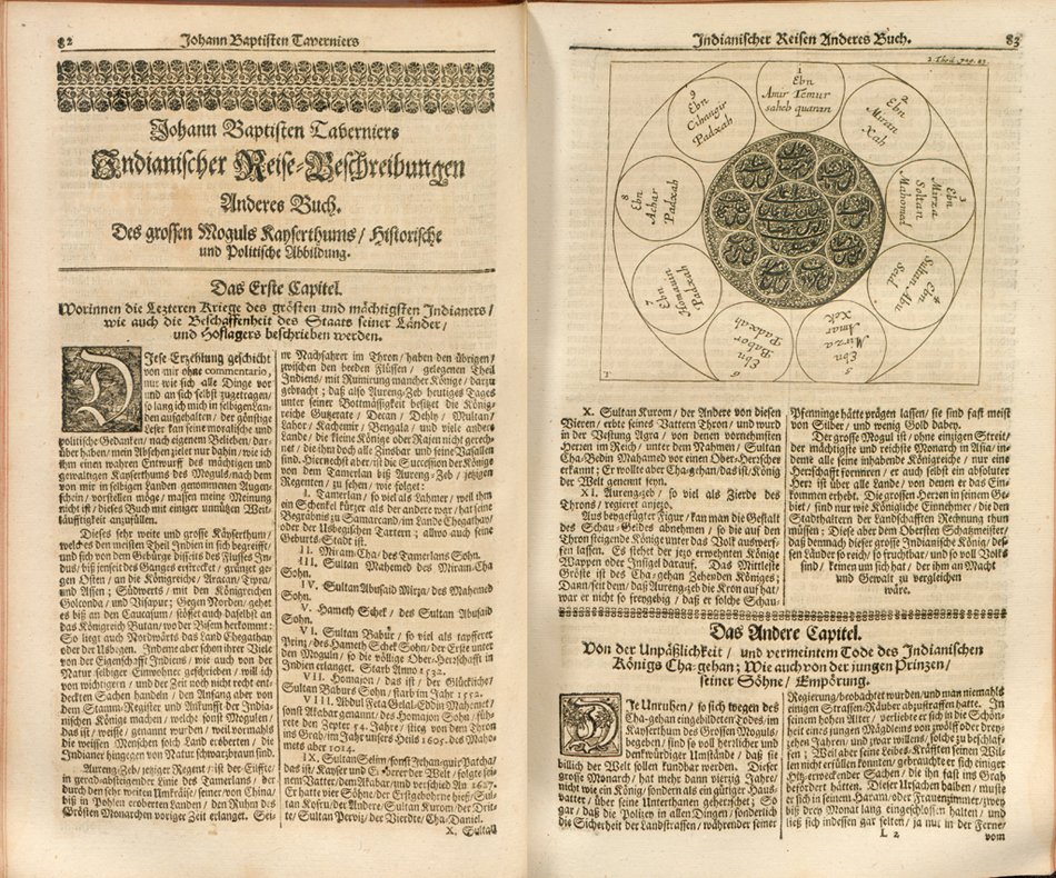
These accounts were integral to a gradual shift from narratives of an imagined and mystical East to reports of India based on actual observation, however biased and orientalizing it may have been. Of special note here is the Travels in India by French gem merchant Jean Baptiste Tavernier (1605-1689), who resided in the court of Mughal emperor Shah Jahan. Tavernier gave a vivid account of his eastward journey and of life and trade in the Mughal empire.
The earliest text on display, published in 1631, is by Flemish geographer Johannes De Laet (1581-1649), a director of the Dutch East India Company. Equally precious is the autograph manuscript by the French Catholic missionary Jean Antoine Dubois (1765-1848), who resided in the South Indian town of Mysore from 1799 to 1823. The unique manuscript contains Dubois' observations on South Indian castes and precedes his famous Description of the Characters, Manners, and Customs of the People of India (London 1817).
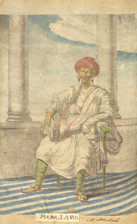
Accounts of the colonial period addressed audiences in both British India and Europe. A Picturesque Tour Along the Rivers Ganges and Jumna (1824) by British military officer Charles Ramus Forrest (1787-1827) chronicles his journey from Calcutta to Delhi. Forrest was a talented artist, whose work contains exquisite sketches and color drawings of India's people, flora and fauna, and the palaces, forts, and towns he encountered along the way.
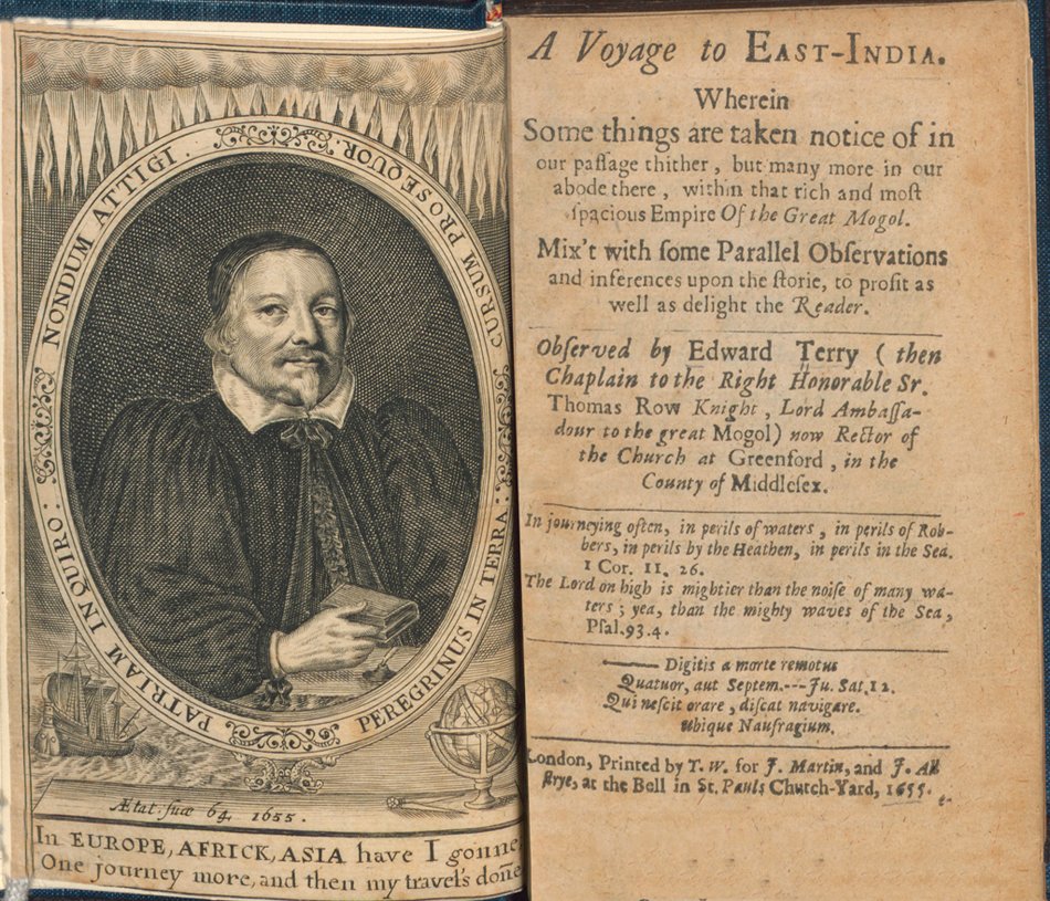
Edward Terry (1590-1660)
London: Printed by T. W. for J. Martin and J. Allestrye, 1655
Rare Book Collection
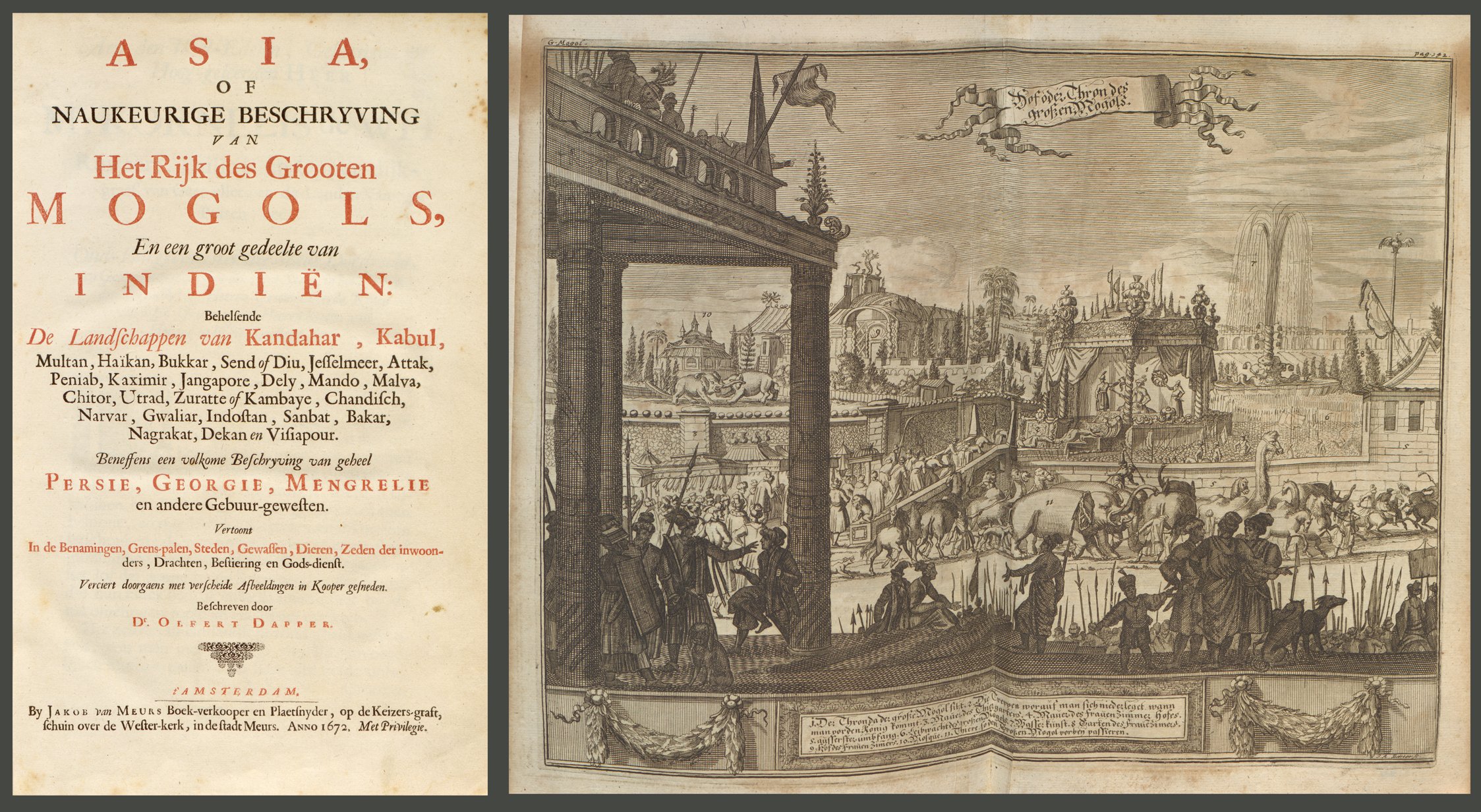
Olfert Dapper (1639-1689)
Amsterdam: Jakob van Meurs, 1672
Rare Book Collection
Among the most comprehensive early European accounts of Mughal India is Asia, of Naukeurige Beschryving van Het Rijk des Grooten Mogols by Olfert Dapper (1635-1689), a Dutch doctor and compiler of historical and geographical works. While Dapper never traveled outside the Netherlands, he wrote prolifically and imaginatively about various regions of the world, including India, Africa, China, Persia, and Arabia. He based his writings on historical texts and European travellers' accounts.
Dapper's work on the Mughal Empire, which is shown here in both its original Dutch and subsequent German-language version, contains stunning engravings by the Amsterdam publisher and engraver Jacob van Meurs (fl. 1670s). The exoticizing images reflect contemporary European notions of a mystical, magnificent, and violent East. Among the most interesting engravings are a series of imagined portraits of the Mughal emperors and powerful women of the court. Also of note is the double-page engraving of the court of the Great Mughal that captures the splendour of courtly life in remarkable detail. In addition to images of the Mughal court, Dapper's work contains extraordinary depictions of Indian landscapes, people, and Hindu deities, including the ten avatars (incarnations) of Vishnu.
