Digital Map Collections
Three ways to view Library maps online:
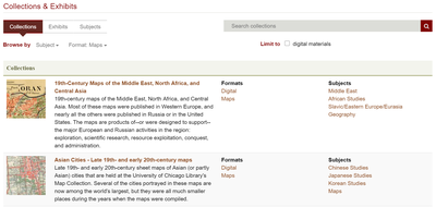
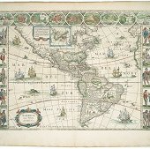
Library Digital Collections
The maps in our Digital Collections are organized by theme and date.
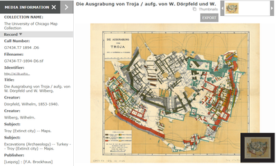
LUNA
The LUNA image platform allows users to browse all our digitized maps at once. Digital map collections from other institutions are also browsable via LUNA.
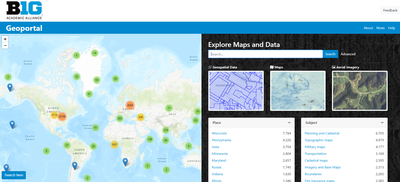
Big Ten Academic Alliance Geoportal
The BTAA Geoportal is spatially enabled to allow users to browse a selection of our digitized maps along with other historical maps and geospatial data from other institutions.
Contact
Sam Brown
Map Collection Assistant